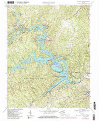
1967 Map of Philpott Lake
USGS Topo · Published 1984About this map
Philpott Lake dominates the central landscape of this survey, created by the massive Philpott Dam on the Smith River. The rugged Blue Ridge foothills are deeply incised by the reservoir's fingers, which reach into the surrounding Franklin, Henry, and Patrick counties. To the west, Fairy Stone State Park encompasses Fairy Stone Lake and the peak of Stuarts Knob, marking a significant recreational corridor that emerged after the dam's completion.
Find a feature on this map
70 named features on this map. Tap any name to fly to it.
Don’t see what you’re looking for? This feature index may not catch every label — zoom into the map to look around manually.
Map Details
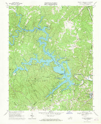
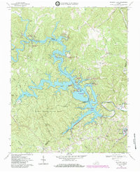
Editions of this 1967 Philpott Lake Map
Other maps of this area

1924 · Martinsville
USGS Topo · 1:48,000

1925 · Rocky Mount
USGS Topo · 1:48,000

1926 · Martinsville
USGS Topo · 1:62,500

1926 · Critz
USGS Topo · 1:48,000

1927 · Rocky Mount
USGS Topo · 1:62,500

1927 · Martinsville
USGS Topo · 1:62,500

1928 · Critz
USGS Topo · 1:62,500

1944 · Martinsville
USGS Topo · 1:62,500

1944 · Rocky Mount
USGS Topo · 1:62,500

1953 · Winston-Salem
USGS Topo · 1:250,000