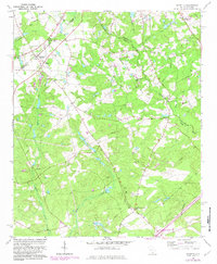
1964 Map of Monetta
USGS Topo · Published 1983About this map
Monetta serves as a central hub in this rural landscape, situated at the junction of the Southern railroad and several local routes. The area is characterized by a dense network of family cemeteries and small country churches, such as Coleman Thankful Ch and Bethel Ch, which reflect the long-standing community ties in this corner of South Carolina. The terrain is defined by the headwaters of numerous creeks, including Clouds Creek and Chinquapin Creek, which carve through the woodland and agricultural plots that dominate the landscape.
Find a feature on this map
41 named features on this map. Tap any name to fly to it.
Don’t see what you’re looking for? This feature index may not catch every label — zoom into the map to look around manually.
Map Details
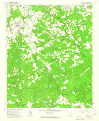
Editions of this 1964 Monetta Map
2 editions found
Other maps of this area

1920 · Aiken
USGS Topo · 1:48,000

1921 · Aiken
USGS Topo · 1:62,500

1943 · Aiken
USGS Topo · 1:62,500

1944 · Gilbert
USGS Topo · 1:62,500

1944 · Seivern
USGS Topo · 1:62,500

1954 · Augusta
USGS Topo · 1:250,000

1957 · Augusta
USGS Topo · 1:250,000

1958 · Augusta
USGS Topo · 1:250,000

1961 · Augusta
USGS Topo · 1:250,000

1962 · Augusta
USGS Topo · 1:250,000