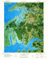
1972 Map of Monie
USGS Topo · Published 1975About this map
Monie Bay and the surrounding marshlands of Somerset Co are captured here in a 1972 orthophotomap, showing the intricate transition between the Wicomico River and Manokin River. This specific era of mapping provides a unique photographic layer that reveals the exact land-use patterns of tidal communities like Mount Vernon and Oriole. The landscape is dominated by fingers of land like Revels Neck and Mongrel Neck, where small family cemeteries and country churches, such as St James Ch and All Saints Ch, serve as the primary markers of inland settlement.
Find a feature on this map
76 named features on this map. Tap any name to fly to it.
Don’t see what you’re looking for? This feature index may not catch every label — zoom into the map to look around manually.
Map Details
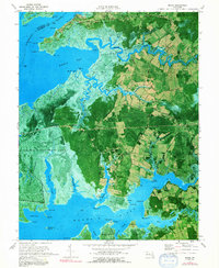
Editions of this 1972 Monie Map
2 editions found
Other maps of this area

1901 · Salisbury
USGS Topo · 1:62,500

1903 · Nanticoke
USGS Topo · 1:62,500

1903 · Deal Island
USGS Topo · 1:62,500

1942 · Terrapin Sand Point
USGS Topo · 1:24,000

1942 · Marion
USGS Topo · 1:24,000

1942 · Deal Island
USGS Topo · 1:24,000

1942 · Monie
USGS Topo · 1:24,000

1942 · Wetipquin
USGS Topo · 1:24,000

1942 · Kingston
USGS Topo · 1:24,000

1942 · Princess Anne
USGS Topo · 1:24,000