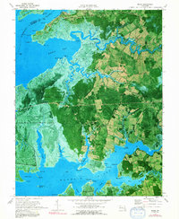
1972 Map of Monie
USGS Topo · Published 1991About this map
Mount Vernon and Venton anchor the rural landscape of Somerset County in this early 1970s orthophotomap, where the agricultural fields of Mongrel Neck meet the expansive tidal marshes of the Chesapeake's eastern shore. The geography is defined by its deep relationship with the water, bounded by the Wicomico River to the north and the Manokin River to the south. Small inland communities like Oriole and Champ are interconnected by a network of local roads including Ebby Road and Black Road.
Find a feature on this map
75 named features on this map. Tap any name to fly to it.
Don’t see what you’re looking for? This feature index may not catch every label — zoom into the map to look around manually.
Map Details
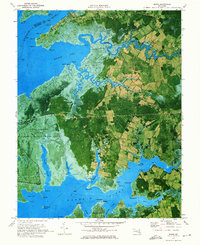
Editions of this 1972 Monie Map
2 editions found
Other maps of this area

1901 · Salisbury
USGS Topo · 1:62,500

1903 · Nanticoke
USGS Topo · 1:62,500

1903 · Deal Island
USGS Topo · 1:62,500

1942 · Terrapin Sand Point
USGS Topo · 1:24,000

1942 · Marion
USGS Topo · 1:24,000

1942 · Deal Island
USGS Topo · 1:24,000

1942 · Monie
USGS Topo · 1:24,000

1942 · Wetipquin
USGS Topo · 1:24,000

1942 · Kingston
USGS Topo · 1:24,000

1942 · Princess Anne
USGS Topo · 1:24,000