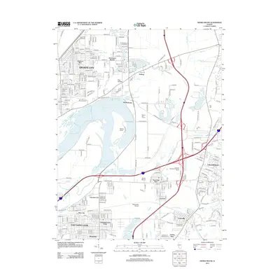
2012 Map of Monks Mound
USGS Topo · Published 2012About this map
Monks Mound and Rattlesnake Mound stand as prominent prehistoric earthworks in a landscape increasingly defined by the industrial and residential growth of the Metro East region. This 2012 survey details the complex geography between Granite City and Collinsville, where vast water bodies like Horseshoe Lake and Canteen Lake persist alongside extensive infrastructure. The map is a valuable resource for local historians, documenting established neighborhoods such as Maryland Place and Rosemont, as well as older landmarks like the Saint Johns United Church of Christ Old Cem and Kirkpatrick Cem.
Find a feature on this map
91 named features on this map. Tap any name to fly to it.
Don’t see what you’re looking for? This feature index may not catch every label — zoom into the map to look around manually.
Map Details
Editions of this 2012 Monks Mound Map
This is the sole edition of this map. No revisions or reprints were ever made.
Other maps of this area

1888 · St. Louis
USGS Topo · 1:62,500

1907 · Belleville
USGS Topo · 1:62,500

1927 · Alton
USGS Topo · 1:62,500

1927 · Edwardsville
USGS Topo · 1:62,500

1931 · French Village
USGS Topo · 1:24,000

1932 · Edwardsville
USGS Topo · 1:62,500

1933 · Granite City
USGS Topo · 1:24,000

1933 · Cahokia
USGS Topo · 1:24,000

1934 · Cahokia
USGS Topo · 1:24,000

1934 · Alton
USGS Topo · 1:62,500