
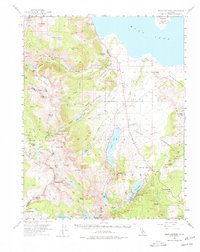
1953 Map of Mono Craters
USGS Topo · Published 1955About this map
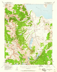
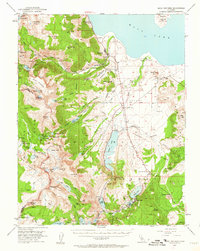
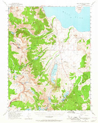
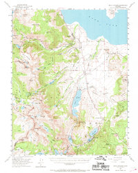
The eastern interface of Yosemite National Park and the high desert basin is captured here in the early 1950s. The landscape is dominated by the volcanic forms of North Crater and the Aeolian Buttes, framing the dry floor of Pumice Valley. This period shows the crucial water infrastructure of the era, including the Mono Lake Aqueduct and the State Fish Hatchery north of Grant Lake.
Find a feature on this map
81 named features on this map. Tap any name to fly to it.
Don’t see what you’re looking for? This feature index may not catch every label — zoom into the map to look around manually.
Map Details
Editions of this 1953 Mono Craters Map
6 editions found
Other maps of this area

1901 · Mt. Lyell
USGS Topo · 1:125,000

1909 · Hawthorne
USGS Topo · 1:250,000

1909 · Bridgeport
USGS Topo · 1:125,000

1911 · Bridgeport
USGS Topo · 1:125,000

1911 · Hawthorne
USGS Topo · 1:250,000

1914 · Mt. Morrison
USGS Topo · 1:125,000

1915 · Hawthorne
USGS Topo · 1:250,000

1920 · Bridgeport
USGS Topo · 1:125,000

1947 · Mariposa
USGS Topo · 1:250,000

1948 · Walker Lake
USGS Topo · 1:250,000