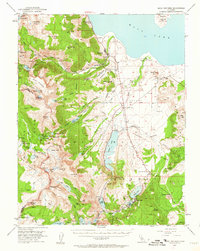
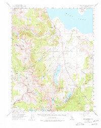
1953 Map of Mono Craters
USGS Topo · Published 1962About this map
Yosemite National Park marks the high-elevation western edge of this 1950s survey, where the Kuna Crest and Dana Plateau drop precipitously toward the Mono Basin. The map details a transition from alpine wilderness to the high desert, centered on the southern shores of Mono Lake and the volcanic chain of the Mono Craters. Evidence of early 20th-century resource management is prominent, including the Gibbs Siphon, Farrington Siphon, and the Powerhouse near Lee Vining. The settlement at Lee Vining and the Mono Lake PO serve as the primary hubs, while the recreational development of the June Lake Loop is visible through June Lake Junction, the State Fish Hatchery, and a series of Public Camp sites. Local mining history is preserved at the Mt Lundy Mine and Log Cabin Mine, while the distinctive geology of Paoha Island and the Punch Bowl highlights the unique volcanic landscape of the era.
Find a feature on this map
93 named features on this map. Tap any name to fly to it.
Don’t see what you’re looking for? This feature index may not catch every label — zoom into the map to look around manually.
Map Details
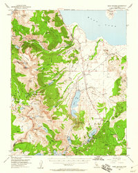
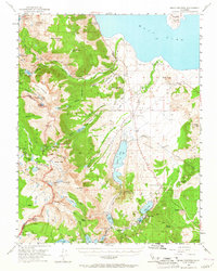
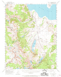
Editions of this 1953 Mono Craters Map
6 editions found

Other maps of this area

1901 · Mt. Lyell
USGS Topo · 1:125,000

1909 · Hawthorne
USGS Topo · 1:250,000

1909 · Bridgeport
USGS Topo · 1:125,000

1911 · Bridgeport
USGS Topo · 1:125,000

1911 · Hawthorne
USGS Topo · 1:250,000

1914 · Mt. Morrison
USGS Topo · 1:125,000

1915 · Hawthorne
USGS Topo · 1:250,000

1920 · Bridgeport
USGS Topo · 1:125,000

1947 · Mariposa
USGS Topo · 1:250,000

1948 · Walker Lake
USGS Topo · 1:250,000