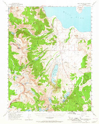
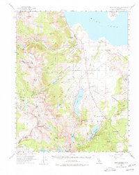
1953 Map of Mono Craters
USGS Topo · Published 1965About this map
Mono Lake and the volcanic landscape of the Pumice Valley dominate this mid-century survey of the Eastern Sierra. The settlement of Lee Vining serves as a gateway to the high country, with the Tioga Road winding past the Powerhouse and into Yosemite National Park via Tioga Pk. To the south, the developing recreation and residential areas around June Lake and Gull Lake are clearly established, including June Lake Junction and the State Fish Hatchery. The map illustrates a complex water management system featuring an Aqueduct, Tunnel, and several reservoirs like Grant Lake and Agnew Lake. Evidence of local industry is found at the Log Cabin Mine and a Gravel Pit near the Lee Vining RS. High-altitude landmarks such as Mt Dana, Mono Pass, and the Kuna Crest define the wilderness boundary between the park and Inyo National Forest.
Find a feature on this map
80 named features on this map. Tap any name to fly to it.
Don’t see what you’re looking for? This feature index may not catch every label — zoom into the map to look around manually.
Map Details
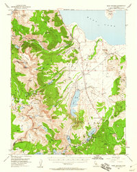
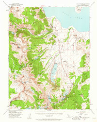
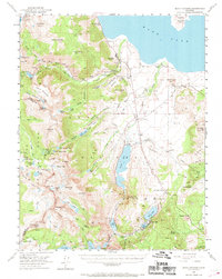
Editions of this 1953 Mono Craters Map
6 editions found

Other maps of this area

1901 · Mt. Lyell
USGS Topo · 1:125,000

1909 · Hawthorne
USGS Topo · 1:250,000

1909 · Bridgeport
USGS Topo · 1:125,000

1911 · Bridgeport
USGS Topo · 1:125,000

1911 · Hawthorne
USGS Topo · 1:250,000

1914 · Mt. Morrison
USGS Topo · 1:125,000

1915 · Hawthorne
USGS Topo · 1:250,000

1920 · Bridgeport
USGS Topo · 1:125,000

1947 · Mariposa
USGS Topo · 1:250,000

1948 · Walker Lake
USGS Topo · 1:250,000