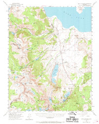
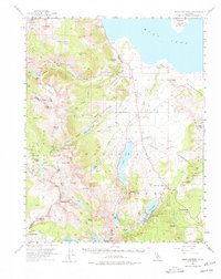
1953 Map of Mono Craters
USGS Topo · Published 1969About this map
Lee Vining and the western shore of Mono Lake anchor this 1953 field survey, capturing the gateway to the Sierra Nevada during an era of expanding water infrastructure and alpine tourism. The map shows the intricate network of the Los Angeles Aqueduct system, including Grant Lake and Silver Lake, alongside the steep ascent of the Tioga Pass road. Local industry and utility are evidenced by the State Fish Hatchery and the Lee Vining RS, while the legacy of high-country prospecting remains visible through the May Lundy Mine and Log Cabin Mine. The landscape is dominated by sharp vertical relief, from the high peaks of Yosemite National Park like Mt Dana down to the volcanic formations of the Aeolian Buttes and Pumice Valley, illustrating the complex geologic transition between the Sierra crest and the Great Basin.
Find a feature on this map
105 named features on this map. Tap any name to fly to it.
Don’t see what you’re looking for? This feature index may not catch every label — zoom into the map to look around manually.
Map Details
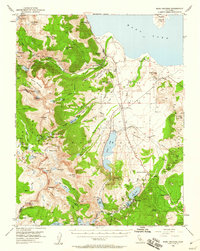
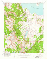
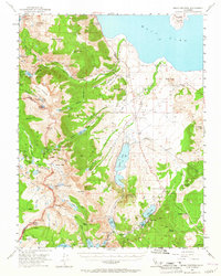
Editions of this 1953 Mono Craters Map
6 editions found

Other maps of this area

1901 · Mt. Lyell
USGS Topo · 1:125,000

1909 · Hawthorne
USGS Topo · 1:250,000

1909 · Bridgeport
USGS Topo · 1:125,000

1911 · Bridgeport
USGS Topo · 1:125,000

1911 · Hawthorne
USGS Topo · 1:250,000

1914 · Mt. Morrison
USGS Topo · 1:125,000

1915 · Hawthorne
USGS Topo · 1:250,000

1920 · Bridgeport
USGS Topo · 1:125,000

1947 · Mariposa
USGS Topo · 1:250,000

1948 · Walker Lake
USGS Topo · 1:250,000