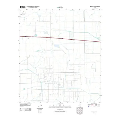
2010 Map of Monroe City
USGS Topo · Published 2010About this map
Monroe City and the nearby Hankamer settlement anchor this landscape of Southeast Texas, where the local economy and geography are defined by extensive water management and petroleum extraction. The presence of the Anahuac Oil Field indicates the industrial character of the region, while a network of engineered waterways, including the Chambers-Liberty Counties Navagation District Canal, Devers Canal, and the West Branch Devers Canal, illustrates a sophisticated infrastructure for irrigation or transport. These man-made channels intersect with natural drainage systems like East Fork Double Bayou and Oyster Bayou. Local heritage is preserved in sites such as Broussard Cemetery and Whites Cemetery, which sit near the northern reaches of Whites Bayou. The map reveals a transition between coastal prairie drainage and the rigid grid of rural roads like Wallace Rd and Hankamer Loop Rd.
Find a feature on this map
23 named features on this map. Tap any name to fly to it.
Don’t see what you’re looking for? This feature index may not catch every label — zoom into the map to look around manually.
Map Details
Editions of this 2010 Monroe City Map
This is the sole edition of this map. No revisions or reprints were ever made.
Other maps of this area

1942 · Anahuac
USGS Topo · 1:24,000

1943 · Whites Bayou
USGS Topo · 1:24,000

1943 · Sea Breeze
USGS Topo · 1:24,000

1943 · Stowell
USGS Topo · 1:24,000

1945 · Nolte
USGS Topo · 1:31,680

1945 · Sea Breeze
USGS Topo · 1:31,680

1950 · Houston
USGS Topo · 1:250,000

1956 · Houston
USGS Topo · 1:250,000
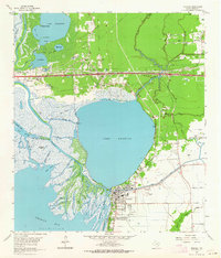
1961 · Anahuac
USGS Topo · 1:24,000
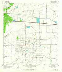
1961 · Monroe City
USGS Topo · 1:24,000