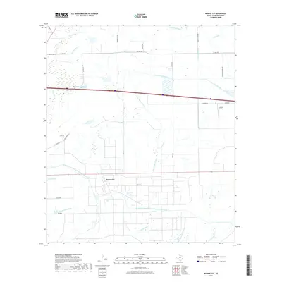
2019 Map of Monroe City
USGS Topo · Published 2019About this map
Monroe City and Hankamer anchor this 2019 survey of the coastal prairie in Chambers County, where an intricate network of natural bayous and man-made irrigation channels defines the landscape. The Chambers-Liberty Counties Navigation District Canal and several branches of the Devers Canal underscore the regional importance of water management for agriculture. Local history is preserved at family and community sites like Broussard Cem and Whites Cem, while more recent infrastructure is represented by the XL Ranch Airport and the corridor of Interstate 10. The drainage patterns of the E Fork Double Bayou, W Fork Double Bayou, and Oyster Bayou illustrate the low-lying terrain of the Texas Gulf Coast, showing how water systems have been both utilized and redirected through decades of settlement and development.
Find a feature on this map
32 named features on this map. Tap any name to fly to it.
Don’t see what you’re looking for? This feature index may not catch every label — zoom into the map to look around manually.
Map Details
Editions of this 2019 Monroe City Map
This is the sole edition of this map. No revisions or reprints were ever made.
Other maps of this area

1942 · Anahuac
USGS Topo · 1:24,000

1943 · Whites Bayou
USGS Topo · 1:24,000

1943 · Sea Breeze
USGS Topo · 1:24,000

1943 · Stowell
USGS Topo · 1:24,000

1945 · Nolte
USGS Topo · 1:31,680

1945 · Sea Breeze
USGS Topo · 1:31,680

1950 · Houston
USGS Topo · 1:250,000

1956 · Houston
USGS Topo · 1:250,000
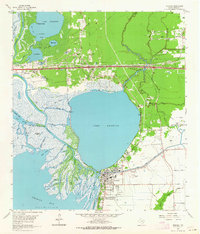
1961 · Anahuac
USGS Topo · 1:24,000
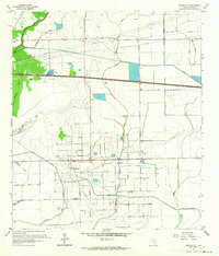
1961 · Monroe City
USGS Topo · 1:24,000