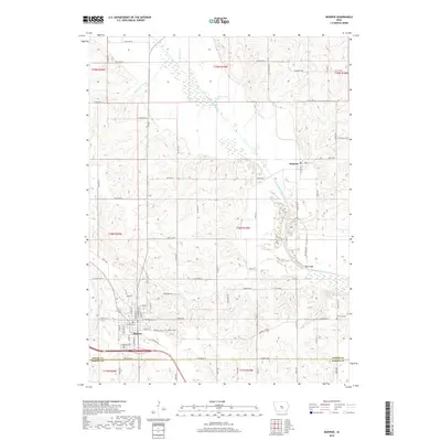
2018 Map of Monroe
USGS Topo · Published 2018About this map
The South Skunk River meanders across this Jasper County landscape, defining the agricultural character of the region near the Marion County line. The settlement of Monroe serves as a primary hub in the southwest, while Reasnor sits further north along the river's drainage basin. The area is marked by numerous small watercourses like Buck Cr and Brush Cr, which feed into the larger river system, creating a varied topography of low-lying wetlands and elevated farm fields.
Find a feature on this map
81 named features on this map. Tap any name to fly to it.
Don’t see what you’re looking for? This feature index may not catch every label — zoom into the map to look around manually.
Map Details
Editions of this 2018 Monroe Map
This is the sole edition of this map. No revisions or reprints were ever made.
Other maps of this area

1909 · Knoxville
USGS Topo · 1:62,500

1910 · Pella
USGS Topo · 1:62,500

1912 · Knoxville
USGS Topo · 1:62,500

1912 · Pella
USGS Topo · 1:62,500

1954 · Des Moines
USGS Topo · 1:250,000

1956 · Des Moines
USGS Topo · 1:250,000

1957 · Des Moines
USGS Topo · 1:250,000

1965 · Prairie City
USGS Topo · 1:24,000

1965 · Newton
USGS Topo · 1:24,000

1965 · Knoxville NW
USGS Topo · 1:24,000