Loading...
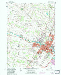
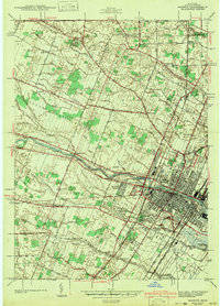
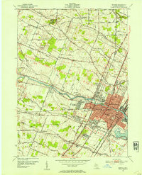
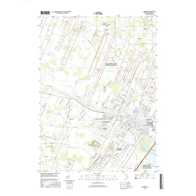
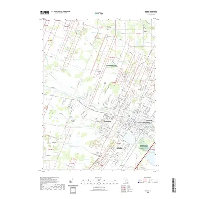
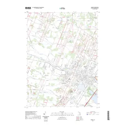
Loading map...1967 Map of Monroe
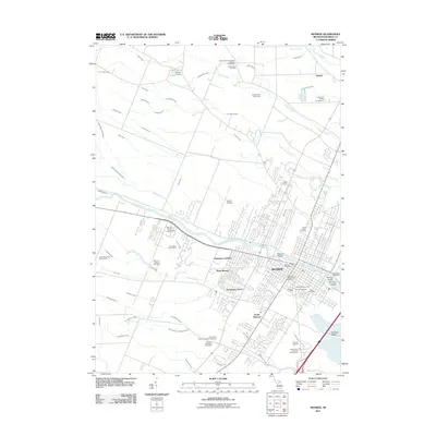
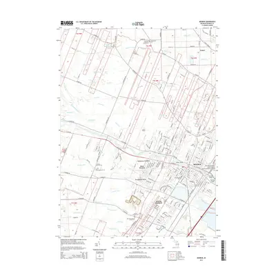
USGS Topo · Published 1979About this map
The River Raisin flows through the heart of Monroe, Michigan, anchoring a landscape where historical industry and education meet. This 1967 survey, updated with 1977 aerial revisions, shows the city's expansion into Frenchtown and Raisinville townships, including the developed residential pockets of Patterson Gardens and Evergreen Acres. The density of parochial institutions is striking, from the St Marys Academy along the river to multiple combined school and cemetery sites like St Michaels Sch & Cem.
Find a feature on this map
117 named features on this map. Tap any name to fly to it.
Don’t see what you’re looking for? This feature index may not catch every label — zoom into the map to look around manually.
Map Details
Date Portrayed1967
Date Published1979
PublisherU.S. Geological Survey
Map TypeTopographic
Scale1:24,000
Physical Dimensions22 x 26.9 inches
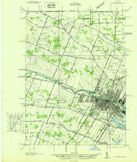
Editions of this 1967 Monroe Map
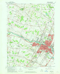
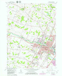
Historical Maps of Frenchtown Charter Township Through Time
9 maps found
Featured Locations
- Frenchtown Charter Township, MI
- Monroe, MI
- Monroe Charter Township, MI
- Raisinville Township, MI
- South Monroe, Monroe Charter Township
Source Details
SourceU.S. Geological Survey
CopyrightPublic Domain