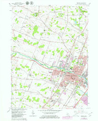
1967 Map of Monroe
USGS Topo · Published 1979About this map
The Raisin River carves through the heart of this landscape, anchoring the city of Monroe and its surrounding townships during a period of significant mid-century expansion. This 1967 survey, updated with 1977 revisions, reveals a complex industrial and civic hub where the Chesapeake and Ohio and Penn Central railroads intersect with the growing suburban fringes of Patterson Gardens and Evergreen Acres. A heavy institutional presence is evident along the riverbanks, from the St Marys Academy to the Monroe County Community College. Further out, the rural character persists in Raisinville and Frenchtown, where family-named drains like Eby Drain and Burdeau Drain manage the low-lying terrain near Sandy Creek. The map documents a diverse local economy, ranging from the large Quarry and sewage disposal facilities to the Custer Municipal Airport and the sprawling Fairground.
Find a feature on this map
94 named features on this map. Tap any name to fly to it.
Don’t see what you’re looking for? This feature index may not catch every label — zoom into the map to look around manually.
Map Details
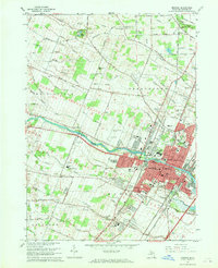
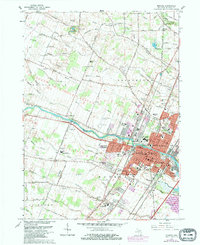
Editions of this 1967 Monroe Map
Other maps of this area

1902 · Ypsilanti
USGS Topo · 1:62,500

1904 · Ann Arbor
USGS Topo · 1:125,000

1906 · Ypsilanti
USGS Topo · 1:62,500

1906 · Romulus
USGS Topo · 1:62,500

1908 · Ann Arbor
USGS Topo · 1:125,000

1912 · Monroe
USGS Topo · 1:62,500

1912 · Dundee
USGS Topo · 1:62,500

1914 · Monroe
USGS Topo · 1:62,500

1926 · Dundee
USGS Topo · 1:62,500

1927 · Monroe
USGS Topo · 1:31,680
Featured Places
- Frenchtown Charter Township, MI
- Monroe, MI
- Monroe Charter Township, MI
- South Monroe, Monroe Charter Township
- Raisinville Township, MI