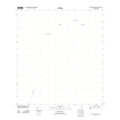
2012 Map of Monroe Station NE
USGS Topo · Published 2012About this map
Buckskin Prairie and Lost Dog Prairie define the landscape of this southern Florida interior, a region where large open expanses dictate the few points of human activity. The map reveals the isolation of the area through its limited infrastructure, most notably the private airfields of Romor Ranch Airport and Lost Horn Ranch Airport. These small-scale ranching and aviation features suggest a lifestyle deeply connected to the land's open layout. The presence of Monument Rd provides the primary terrestrial link through this part of Collier County, cutting a path through the otherwise undeveloped wetlands and prairies typical of the Big Cypress area.
Find a feature on this map
5 named features on this map. Tap any name to fly to it.
Don’t see what you’re looking for? This feature index may not catch every label — zoom into the map to look around manually.
Map Details
Editions of this 2012 Monroe Station NE Map
This is the sole edition of this map. No revisions or reprints were ever made.
Other maps of this area

1956 · Miami
USGS Topo · 1:250,000

1956 · West Palm Beach
USGS Topo · 1:250,000

1957 · West Palm Beach
USGS Topo · 1:250,000

1958 · West Palm Beach
USGS Topo · 1:250,000

1958 · Miami
USGS Topo · 1:250,000

1972 · Monroe Station NE
USGS Topo · 1:24,000

1972 · Burns Lake
USGS Topo · 1:24,000

1973 · Gator Hook Swamp
USGS Topo · 1:24,000

1973 · Fiftymile Bend
USGS Topo · 1:24,000

1973 · North Of Fiftymile Bend
USGS Topo · 1:24,000