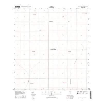
2015 Map of Monroe Station NE
USGS Topo · Published 2015About this map
Big Cypress National Preserve defines this landscape in Collier County, where the sprawling cypress swamps and prairies of southern Florida are documented in 2015. The geography is characterized by expansive natural openings such as Buckskin Prairie and Lost Dog Prairie, interspersed with specialized infrastructure supporting the region's remote ranching operations. The presence of private aviation facilities like Lost Horn Ranch Airport and Romor Ranch Airport highlights the logistical challenges of the terrain, where air travel serves as a vital link for isolated homesteads. For those exploring the wilderness on foot, the Florida National Scenic Trail winds through the eastern portion of the map, while unpaved routes like Monument Rd and Sandy Rd provide limited vehicular access. This survey offers a detailed look at the land management boundaries within the preserve, illustrating the intersection of protected public lands and enduring private ranching traditions.
Find a feature on this map
14 named features on this map. Tap any name to fly to it.
Don’t see what you’re looking for? This feature index may not catch every label — zoom into the map to look around manually.
Map Details
Editions of this 2015 Monroe Station NE Map
This is the sole edition of this map. No revisions or reprints were ever made.
Other maps of this area

1956 · Miami
USGS Topo · 1:250,000

1956 · West Palm Beach
USGS Topo · 1:250,000

1957 · West Palm Beach
USGS Topo · 1:250,000

1958 · West Palm Beach
USGS Topo · 1:250,000

1958 · Miami
USGS Topo · 1:250,000

1972 · Monroe Station NE
USGS Topo · 1:24,000

1972 · Burns Lake
USGS Topo · 1:24,000

1973 · Gator Hook Swamp
USGS Topo · 1:24,000

1973 · Fiftymile Bend
USGS Topo · 1:24,000

1973 · North Of Fiftymile Bend
USGS Topo · 1:24,000