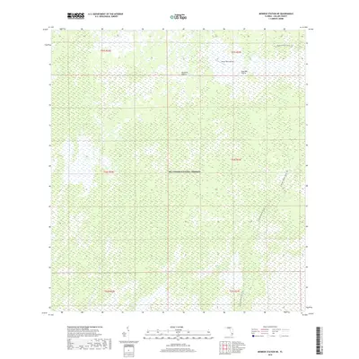
2018 Map of Monroe Station NE
USGS Topo · Published 2018About this map
Big Cypress National Preserve encompasses the entirety of this landscape, showcasing the intricate wetland and prairie systems of southern Florida. The terrain is defined by distinct environmental features such as Buckskin Prairie and Lost Dog Prairie, which are interspersed with strands—shallow, slow-moving water channels—including Barnes Strand and Monroe Strand. The Florida National Scenic Trail winds through the eastern portion of the map, providing a terrestrial corridor through this complex aquatic environment. Human infrastructure is nearly absent from the interior, with the Romor Ranch Airport serving as a rare landmark amidst the wilderness. This survey captures the region just before the late 2010s, illustrating the preserved state of the Everglades' western fringe where natural water patterns dictate the geography.
Find a feature on this map
13 named features on this map. Tap any name to fly to it.
Don’t see what you’re looking for? This feature index may not catch every label — zoom into the map to look around manually.
Map Details
Editions of this 2018 Monroe Station NE Map
This is the sole edition of this map. No revisions or reprints were ever made.
Other maps of this area

1956 · Miami
USGS Topo · 1:250,000

1956 · West Palm Beach
USGS Topo · 1:250,000

1957 · West Palm Beach
USGS Topo · 1:250,000

1958 · West Palm Beach
USGS Topo · 1:250,000

1958 · Miami
USGS Topo · 1:250,000

1972 · Monroe Station NE
USGS Topo · 1:24,000

1972 · Burns Lake
USGS Topo · 1:24,000

1973 · Gator Hook Swamp
USGS Topo · 1:24,000

1973 · Fiftymile Bend
USGS Topo · 1:24,000

1973 · North Of Fiftymile Bend
USGS Topo · 1:24,000