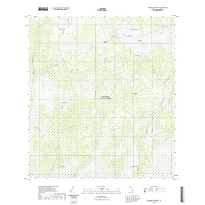
2021 Map of Monroe Station NE
USGS Topo · Published 2021About this map
Big Cypress National Preserve defines this landscape of intricate wetlands and sawgrass prairies in southern Florida. The map illustrates a dense network of specialized paths and ecological features, including the Monroe Strand and Barnes Strand, which serve as vital drainage ways through the cypress forest. Several named prairies, such as Buckskin Prairie and Lost Dog Prairie, break the swampy terrain, providing distinct landmarks for those navigating this complex environment.
Find a feature on this map
24 named features on this map. Tap any name to fly to it.
Don’t see what you’re looking for? This feature index may not catch every label — zoom into the map to look around manually.
Map Details
Editions of this 2021 Monroe Station NE Map
This is the sole edition of this map. No revisions or reprints were ever made.
Other maps of this area

1956 · Miami
USGS Topo · 1:250,000

1956 · West Palm Beach
USGS Topo · 1:250,000

1957 · West Palm Beach
USGS Topo · 1:250,000

1958 · West Palm Beach
USGS Topo · 1:250,000

1958 · Miami
USGS Topo · 1:250,000

1972 · Monroe Station NE
USGS Topo · 1:24,000

1972 · Burns Lake
USGS Topo · 1:24,000

1973 · Gator Hook Swamp
USGS Topo · 1:24,000

1973 · Fiftymile Bend
USGS Topo · 1:24,000

1973 · North Of Fiftymile Bend
USGS Topo · 1:24,000