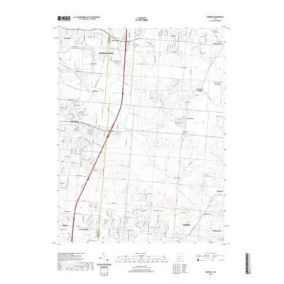
2019 Map of Monroe
USGS Topo · Published 2019About this map
Middletown and Monroe anchor this landscape along the Butler and Warren County line, showcasing a highly developed region of southwestern Ohio. The map detail highlights several historic religious and community landmarks, particularly the many burial sites such as Otterbein-Shaker Cem and East Shaker Cem, which point to the area's Shaker heritage. Waterways like Dicks Creek and Harmon Run wind through the terrain, interspersed with local names like Blue Ball, Greentree Corners, and Red Lion. The intricate road network, including Oxford State Rd and Princeton Rd, links established neighborhoods with newer developments like Four Bridges. Genealogists will find significant value in the various small family or community cemeteries, including Gilbert Cem and Rhodes Cem, which are clearly marked alongside modern infrastructure.
Find a feature on this map
61 named features on this map. Tap any name to fly to it.
Don’t see what you’re looking for? This feature index may not catch every label — zoom into the map to look around manually.
Map Details
Editions of this 2019 Monroe Map
This is the sole edition of this map. No revisions or reprints were ever made.
Other maps of this area

1904 · Mason
USGS Topo · 1:62,500

1906 · Mason
USGS Topo · 1:62,500

1908 · Miamisburg
USGS Topo · 1:62,500

1913 · Waynesville
USGS Topo · 1:62,500

1914 · Morrow
USGS Topo · 1:62,500

1915 · Waynesville
USGS Topo · 1:62,500

1916 · Morrow
USGS Topo · 1:62,500

1951 · Franklin
USGS Topo · 1:24,000

1953 · Cincinnati
USGS Topo · 1:250,000

1955 · Monroe
USGS Topo · 1:24,000