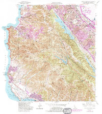
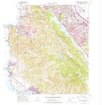
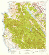
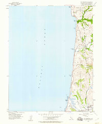
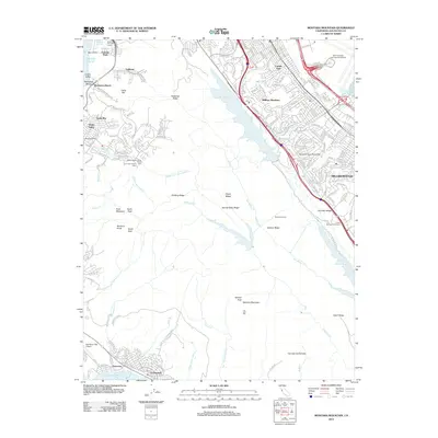
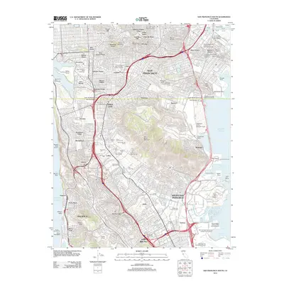
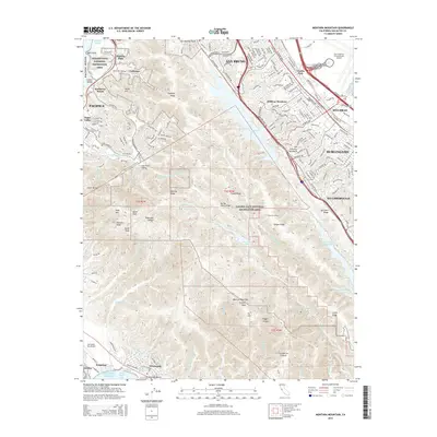
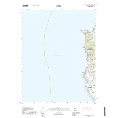
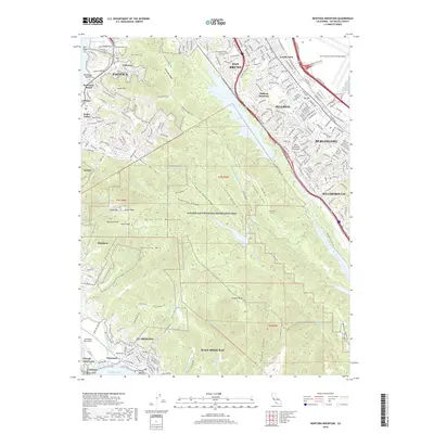
1956 Map of Montara Mountain
USGS Topo · Published 1981About this map
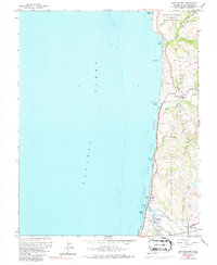
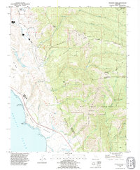
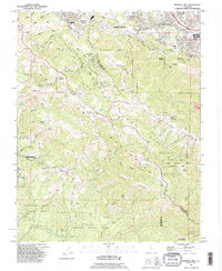
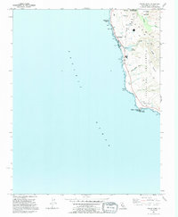
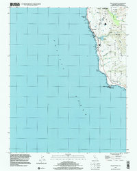
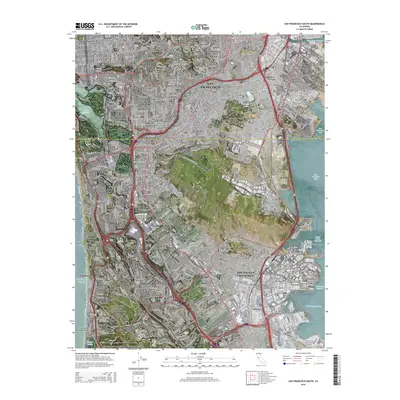
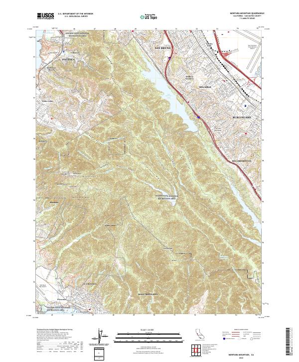
The San Andreas Rift Zone forms a striking geographic divide across this peninsula landscape, separating the developing coastal communities of the west from the bayside cities of the east. On the Pacific coast, the topography is defined by the steep rises of San Pedro Mountain and the prominent North Peak, overlooking the growing neighborhoods of Pacifica, Linda Mar, and Montara. History is rooted in landmarks like the Sanchez Adobe and the Portola Expedition Historical Marker, while the Point Montara Light Station monitors the shoreline near Seal Cove. To the east, the terrain descends toward the San Andreas Lake and Lower Crystal Springs Reservoir, where suburban expansion is evident in San Bruno, Millbrae, and Burlingame. This mid-century view shows a coastal economy in transition, where infrastructure like the Southern Pacific railroad and Hale Moon Bay Airport supports both industrial growth and local recreation at the Sharp Park Golf Course.
Find a feature on this map
84 named features on this map. Tap any name to fly to it.
Don’t see what you’re looking for? This feature index may not catch every label — zoom into the map to look around manually.
Map Details
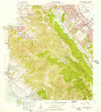
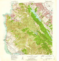
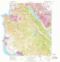
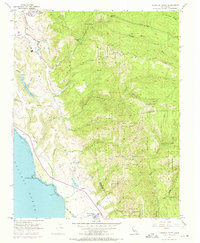
Editions of this 1956 Montara Mountain Map
5 editions found
Historical Maps of San Bruno Through Time
68 maps found

1940 Ano Nuevo
San Mateo County, CA
1940 Halfmoon Bay
San Mateo County, CA

1941 Ano Nuevo Pt.
San Mateo County, CA
1942 Ano Nuevo
San Mateo County, CA

1943 Halfmoon Bay
San Mateo County, CA

1947 San Francisco South
San Mateo County, CA
1948 Ano Nuevo
San Mateo County, CA

1948 Redwood Point
San Mateo County, CA
1949 Montara Mountain
San Mateo County, CA

1950 San Francisco South
San Mateo County, CA
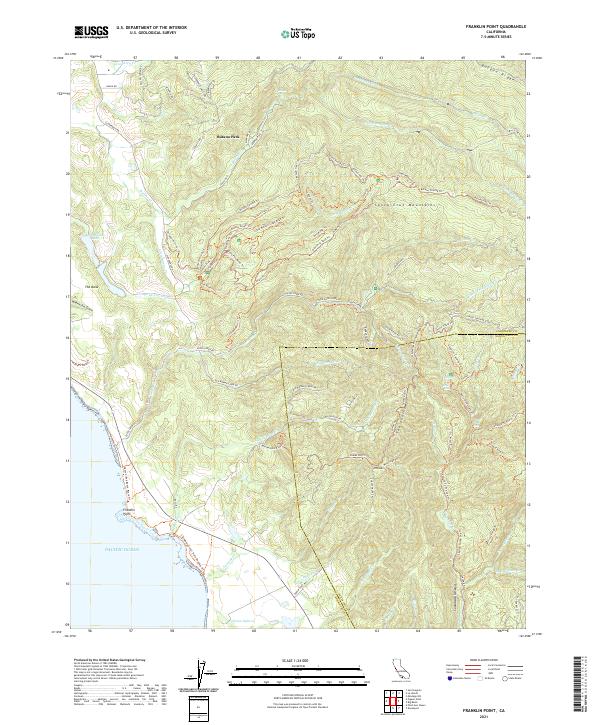
1955 Franklin Point
San Mateo County, CA
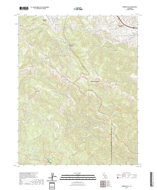
1955 Mindego Hill
San Mateo County, CA
1955 Pigeon Point
San Mateo County, CA
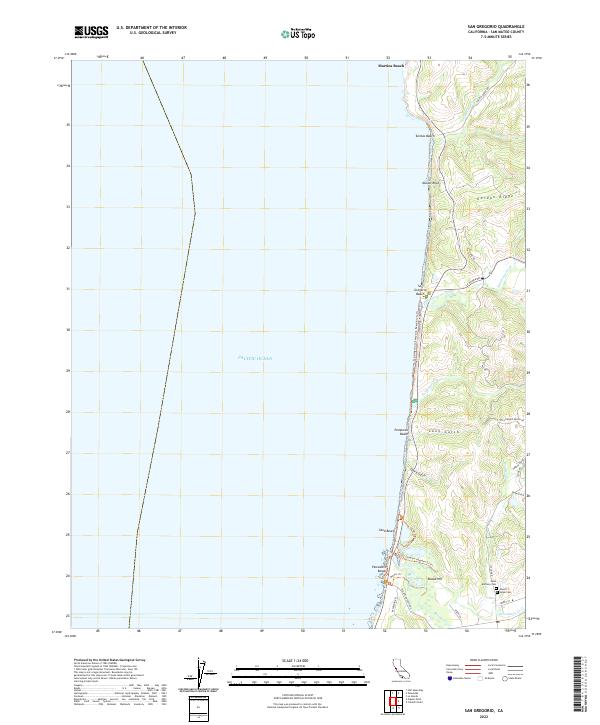
1955 San Gregorio
San Mateo County, CA
1956 Montara Mountain
San Mateo County, CA
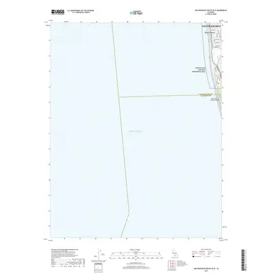
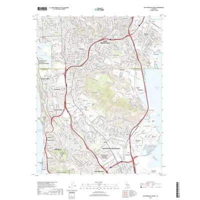
1956 San Francisco South
San Mateo County, CA
1959 Redwood Point
San Mateo County, CA
1961 Mindego Hill
San Mateo County, CA
1961 San Gregorio
San Mateo County, CA
1991 Franklin Point
San Mateo County, CA
1991 Mindego Hill
San Mateo County, CA
1991 Pigeon Point
San Mateo County, CA

1991 San Gregorio
San Mateo County, CA

1993 Montara Mountain
San Mateo County, CA

1993 Redwood Point
San Mateo County, CA

1993 San Francisco South
San Mateo County, CA

1995 San Francisco South
San Mateo County, CA

1997 Mindego Hill
San Mateo County, CA

1997 Montara Mountain
San Mateo County, CA

1997 San Gregorio
San Mateo County, CA

1998 Franklin Point
San Mateo County, CA
1998 Pigeon Point
San Mateo County, CA
2012 Franklin Point
San Mateo County, CA
2012 Mindego Hill
San Mateo County, CA
2012 Montara Mountain OE W
San Mateo County, CA
2012 Montara Mountain
San Mateo County, CA
2012 Pigeon Point
San Mateo County, CA
2012 Redwood Point
San Mateo County, CA
2012 San Francisco South OE W
San Mateo County, CA
2012 San Francisco South
San Mateo County, CA
2012 San Gregorio
San Mateo County, CA
2015 Franklin Point
San Mateo County, CA

2015 Mindego Hill
San Mateo County, CA
2015 Montara Mountain OE W
San Mateo County, CA
2015 Montara Mountain
San Mateo County, CA
2015 Pigeon Point
San Mateo County, CA
2015 Redwood Point
San Mateo County, CA
2015 San Francisco South OE W
San Mateo County, CA
2015 San Francisco South
San Mateo County, CA
2015 San Gregorio
San Mateo County, CA
2018 Franklin Point
San Mateo County, CA
2018 Mindego Hill
San Mateo County, CA
2018 Montara Mountain OE W
San Mateo County, CA
2018 Montara Mountain
San Mateo County, CA
2018 Pigeon Point
San Mateo County, CA
2018 Redwood Point
San Mateo County, CA
2018 San Francisco South OE W
San Mateo County, CA
2018 San Francisco South
San Mateo County, CA
2018 San Gregorio
San Mateo County, CA
2021 Franklin Point
San Mateo County, CA
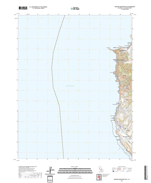
2021 Montara Mountain OE W
San Mateo County, CA
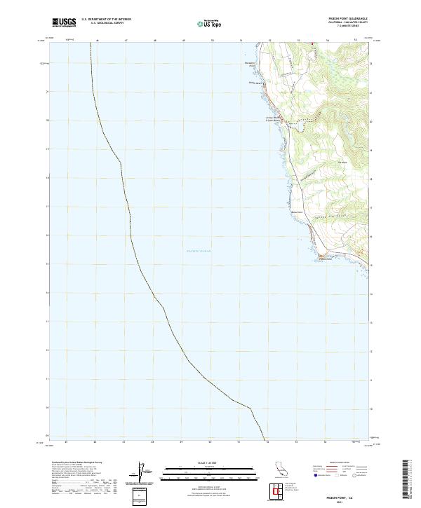
2021 Pigeon Point
San Mateo County, CA
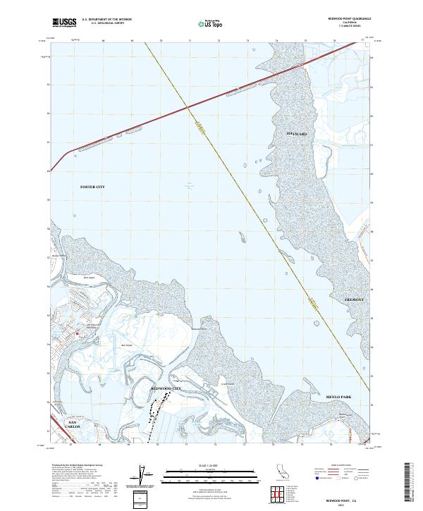
2021 Redwood Point
San Mateo County, CA
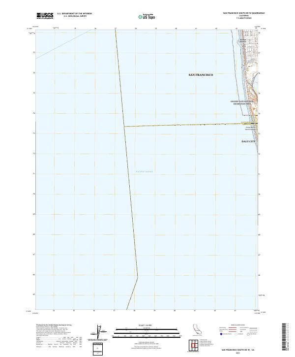
2021 San Francisco South OE W
San Mateo County, CA

2021 San Francisco South
San Mateo County, CA
2022 Mindego Hill
San Mateo County, CA
2022 Montara Mountain
San Mateo County, CA
2022 San Gregorio
San Mateo County, CA