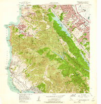
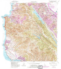
1956 Map of Montara Mountain
USGS Topo · Published 1961About this map
The San Francisco City and County Boundary runs through the northern edge of this coastal landscape, where mid-century suburban expansion meets the steep ridges of the San Mateo Mountains. The Southern Pacific railroad corridor and El Camino Real define the eastern valleys, supporting established communities like San Bruno, Millbrae, and Burlingame. Meanwhile, the western coast is marked by the distinct seaside settlements of Rockaway Beach, Linda Mar, and Moss Beach.
Find a feature on this map
86 named features on this map. Tap any name to fly to it.
Don’t see what you’re looking for? This feature index may not catch every label — zoom into the map to look around manually.
Map Details
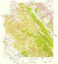
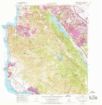
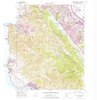
Editions of this 1956 Montara Mountain Map
5 editions found
Other maps of this area

1892 · San Mateo
USGS Topo · 1:62,500

1896 · San Mateo
USGS Topo · 1:62,500

1899 · San Mateo
USGS Topo · 1:62,500

1902 · Santa Cruz
USGS Topo · 1:125,000

1915 · San Mateo
USGS Topo · 1:62,500

1939 · San Mateo
USGS Topo · 1:62,500

1940 · Halfmoon Bay
USGS Topo · 1:62,500

1943 · San Mateo
USGS Topo · 1:62,500

1943 · Halfmoon Bay
USGS Topo · 1:62,500

1947 · San Francisco
USGS Topo · 1:250,000