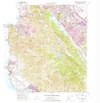
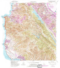
1956 Map of Montara Mountain
USGS Topo · Published 1975About this map
The San Andreas Rift Zone bisects the San Mateo peninsula in this mid-century survey, creating the dramatic linear valley that holds San Andreas Lake and the Lower Crystal Springs Reservoir. On the Pacific coast, the burgeoning postwar suburbs of Pacifica and Linda Mar are shown as they expanded into the valleys of Calera Creek and San Pedro Creek. This transition period is evident in the mix of Spanish land grant remnants like Corral de Tierra and modern infrastructure like the Juniper Serra Freeway.
Find a feature on this map
86 named features on this map. Tap any name to fly to it.
Don’t see what you’re looking for? This feature index may not catch every label — zoom into the map to look around manually.
Map Details
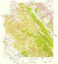
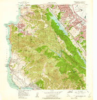
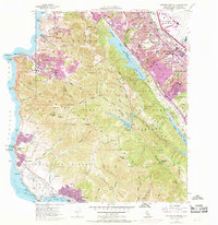
Editions of this 1956 Montara Mountain Map
5 editions found
Other maps of this area

1892 · San Mateo
USGS Topo · 1:62,500

1896 · San Mateo
USGS Topo · 1:62,500

1899 · San Mateo
USGS Topo · 1:62,500

1902 · Santa Cruz
USGS Topo · 1:125,000

1915 · San Mateo
USGS Topo · 1:62,500

1939 · San Mateo
USGS Topo · 1:62,500

1940 · Halfmoon Bay
USGS Topo · 1:62,500

1943 · San Mateo
USGS Topo · 1:62,500

1943 · Halfmoon Bay
USGS Topo · 1:62,500

1947 · San Francisco
USGS Topo · 1:250,000