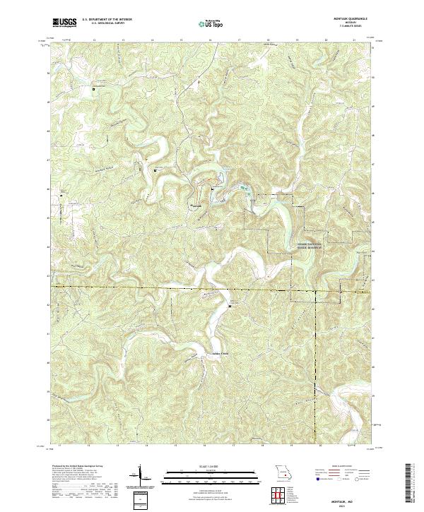
2021 Map of Montauk
USGS Topo · Published 2021This historical map portrays the area of Montauk in 2021, primarily covering Dent County as well as portions of Texas County and Shannon County. Featuring a scale of 1:24000, this map provides a highly detailed snapshot of the terrain, roads, buildings, counties, and historical landmarks in the Montauk region at the time. Published in 2021, it is the sole known edition of this map.
Map Details
Editions of this 2021 Montauk Map
This is the sole edition of this map. No revisions or reprints were ever made.
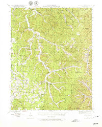
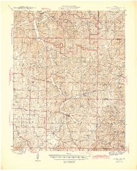
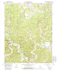
Historical Maps of Montauk Through Time
32 maps found
1941 Stone Hill
Dent County, MO
1945 Stone Hill
Dent County, MO
1951 Cedargrove
Dent County, MO
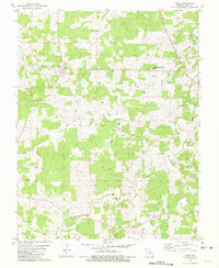
1951 Montauk
Dent County, MO
1967 Gladden
Dent County, MO
1967 Loggers Lake
Dent County, MO
1967 Viburnum West
Dent County, MO
1981 Anutt
Dent County, MO
1981 Darien
Dent County, MO
1981 Doss
Dent County, MO
1981 Howes Mill Spring
Dent County, MO
1981 Rhyse
Dent County, MO
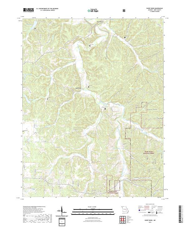
1981 Short Bend
Dent County, MO
1981 Stone Hill
Dent County, MO

1992 Anutt
Dent County, MO
1992 Rhyse
Dent County, MO
1999 Howes Mill Spring
Dent County, MO
1999 Loggers Lake
Dent County, MO
1999 Stone Hill
Dent County, MO
1999 Viburnum West
Dent County, MO
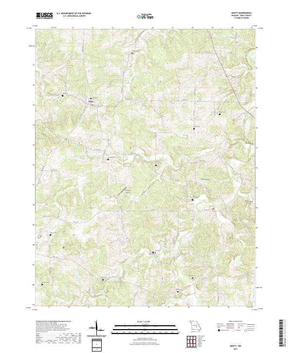
2021 Anutt
Dent County, MO
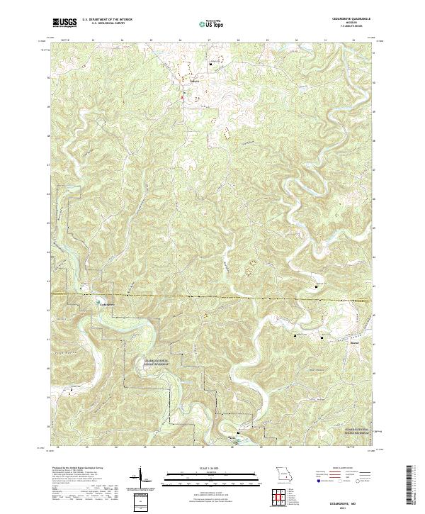
2021 Cedargrove
Dent County, MO
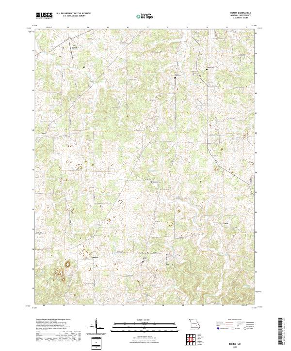
2021 Darien
Dent County, MO
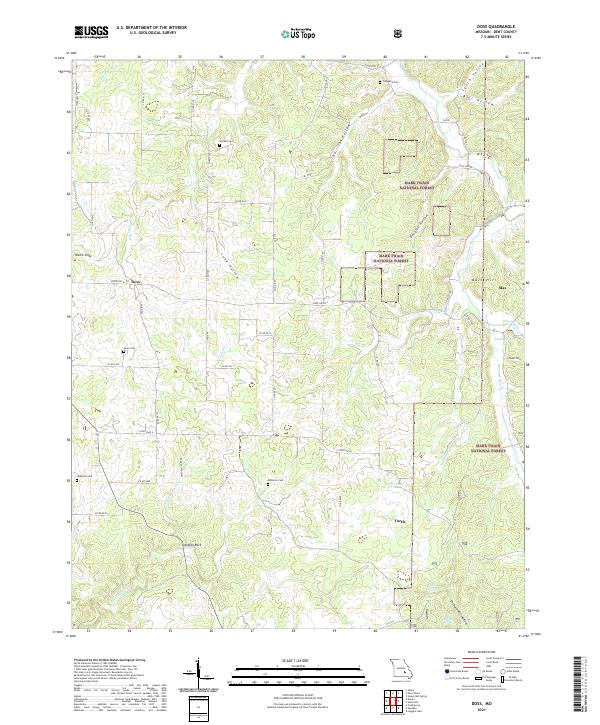
2021 Doss
Dent County, MO
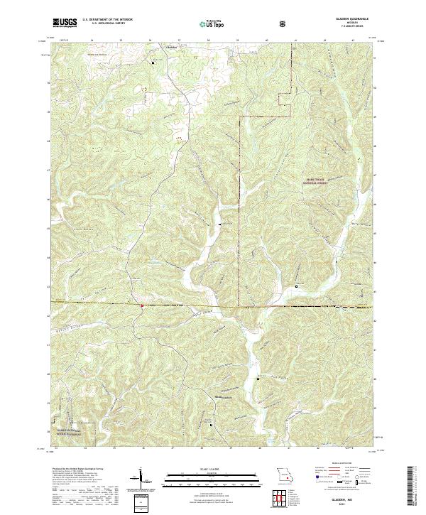
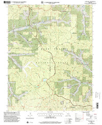
2021 Gladden
Dent County, MO
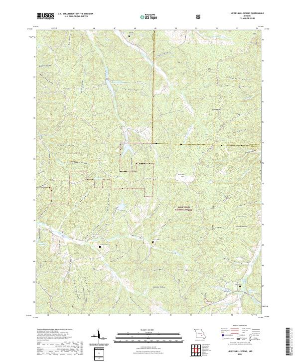
2021 Howes Mill Spring
Dent County, MO
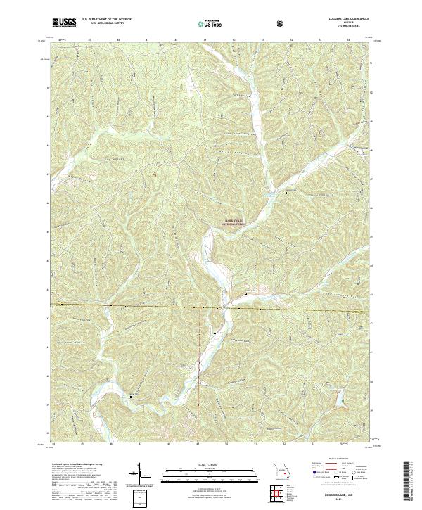
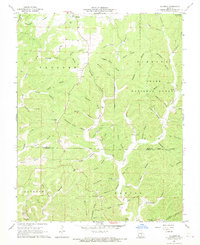
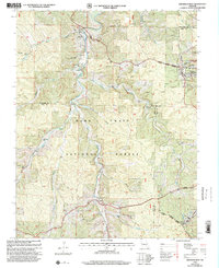
2021 Loggers Lake
Dent County, MO
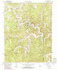
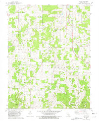
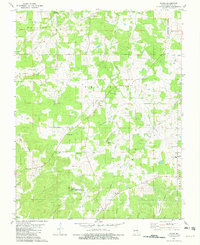
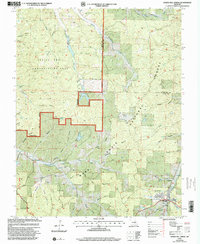
2021 Montauk
Dent County, MO
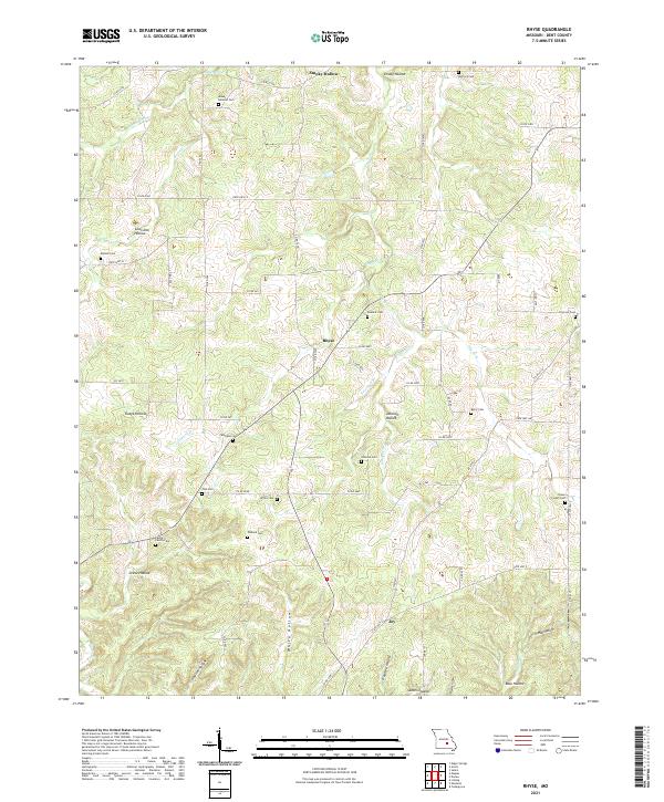
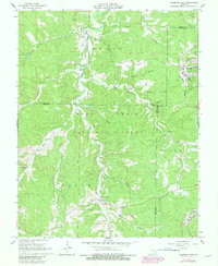
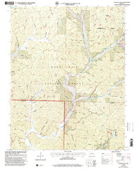
2021 Rhyse
Dent County, MO
2021 Short Bend
Dent County, MO
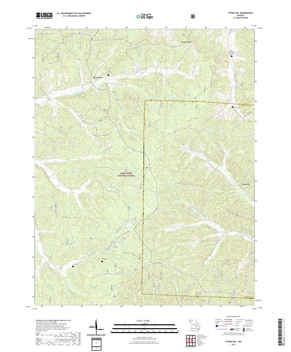
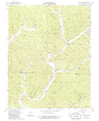
2021 Stone Hill
Dent County, MO
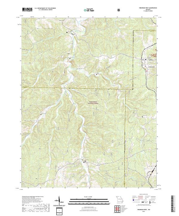
2021 Viburnum West
Dent County, MO