
1963 Map of Monte Christo
USGS Topo · Published 1965About this map
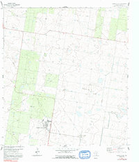
Mission Air Base defines the southern portion of this South Texas landscape, showing a detailed layout of the installation's runways and support structures alongside a dedicated Picnic Area. The surrounding terrain is heavily shaped by the energy and extraction industries of the early 1960s, dominated by the Monte Christo Gas Field and numerous scattered Gas Wells and Drill Holes. The Missouri Pacific rail line cuts through the brushland, providing a vital transport link for the region's raw materials.
Find a feature on this map
15 named features on this map. Tap any name to fly to it.
Don’t see what you’re looking for? This feature index may not catch every label — zoom into the map to look around manually.
Map Details
Editions of this 1963 Monte Christo Map
2 editions found
Other maps of this area

1939 · Linn
USGS Topo · 1:62,500

1939 · La Reforma
USGS Topo · 1:62,500

1940 · Monte Christo
USGS Topo · 1:62,500

1949 · Mc Allen
USGS Topo · 1:250,000

1954 · McAllen
USGS Topo · 1:250,000

1957 · Mc Allen
USGS Topo · 1:250,000

1962 · McAllen
USGS Topo · 1:250,000

1963 · Edinburg
USGS Topo · 1:24,000
1963 · Faysvillle
USGS Topo · 1:24,000

1963 · Citrus City
USGS Topo · 1:24,000