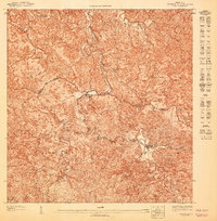
1960 Map of Monte Guilarte
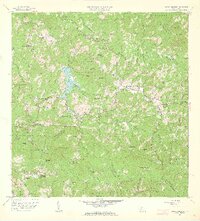
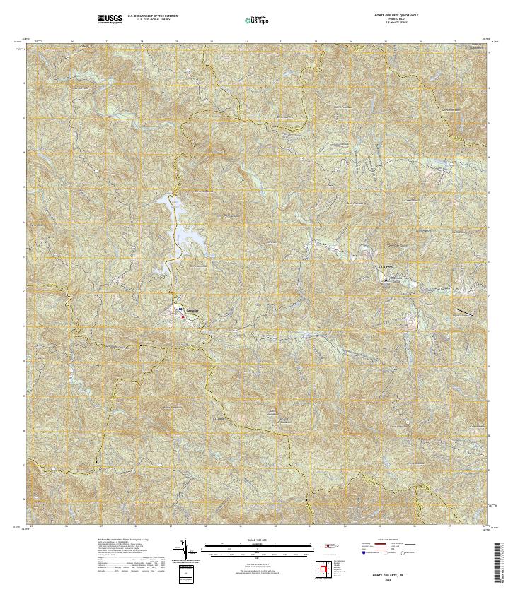
USGS Topo · Published 1962This historical map portrays the area of Monte Guilarte in 1960, primarily covering Adjuntas Municipio as well as portions of Yauco Municipio, Peñuelas Municipio, Utuado Municipio, Guayanilla Municipio, Lares Municipio, and Maricao Municipio. Featuring a scale of 1:20000, this map provides a highly detailed snapshot of the terrain, roads, buildings, counties, and historical landmarks in the Monte Guilarte region at the time. Published in 1962, it is one of 4 known editions of this map due to revisions or reprints.
Find a feature on this map
148 named features on this map. Tap any name to fly to it.
Don’t see what you’re looking for? This feature index may not catch every label — zoom into the map to look around manually.
Map Details
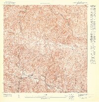
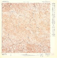
Editions of this 1960 Monte Guilarte Map
4 editions found
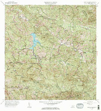
Historical Maps of Yauco Through Time
8 maps found
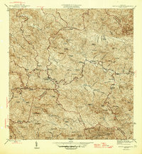
1946 Monte Guilarte
Adjuntas Municipio, PR
1947 Adjuntas NO
Adjuntas Municipio, PR

1947 Adjuntas SO
Adjuntas Municipio, PR
1947 Monte Guilarte NE
Adjuntas Municipio, PR
1947 Monte Guilarte SE
Adjuntas Municipio, PR

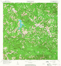
1952 Monte Guilarte
Adjuntas Municipio, PR
1960 Monte Guilarte
Adjuntas Municipio, PR
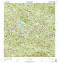
2024 Monte Guilarte
Adjuntas Municipio, PR
Featured Locations
- Sector Jiménez Santiago, Adjuntas
- Sector Lombrices, Adjuntas
- Sector Los Pagán, Adjuntas
- Sector Palo Seco, Adjuntas
- Sector Titulo Quinto, Adjuntas