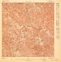
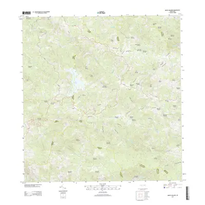
1960 Map of Monte Guilarte
USGS Topo · Published 1968About this map
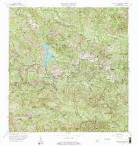
The Cordillera Central rises sharply in this 1960 survey, centered on the high peak of Monte Guilarte and the surrounding coffee-growing regions. The landscape is defined by an intensive network of agricultural estates, including Hacienda La Balear, Hacienda San Alberto, and Hacienda Esperanza, which speak to the traditional hacienda system that shaped the central highlands. Water management is a prominent theme, anchored by the reservoir of Lago Guayo and several tributaries like the Río Blanco and Río Guilarte.
Find a feature on this map
117 named features on this map. Tap any name to fly to it.
Don’t see what you’re looking for? This feature index may not catch every label — zoom into the map to look around manually.
Map Details
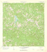
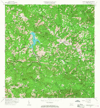
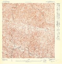
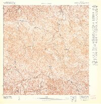
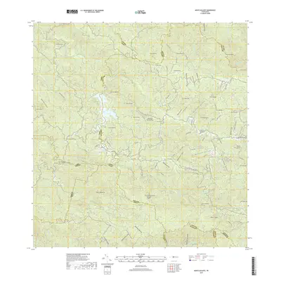
Editions of this 1960 Monte Guilarte Map
4 editions found
Historical Maps of Sector Los Pagán Through Time
10 maps found
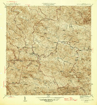
1946 Monte Guilarte
Adjuntas Municipio, PR
1947 Adjuntas NO
Adjuntas Municipio, PR

1947 Adjuntas SO
Adjuntas Municipio, PR
1947 Monte Guilarte NE
Adjuntas Municipio, PR
1947 Monte Guilarte SE
Adjuntas Municipio, PR

1952 Monte Guilarte
Adjuntas Municipio, PR
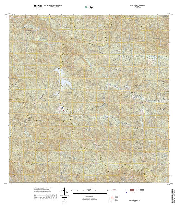
1960 Monte Guilarte
Adjuntas Municipio, PR
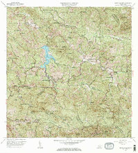
2013 Monte Guilarte
Adjuntas Municipio, PR
2018 Monte Guilarte
Adjuntas Municipio, PR
2024 Monte Guilarte
Adjuntas Municipio, PR
Featured Locations
- Sector Jiménez Santiago, Adjuntas
- Sector Lombrices, Adjuntas
- Sector Los Pagán, Adjuntas
- Sector Palo Seco, Adjuntas
- Sector Titulo Quinto, Adjuntas