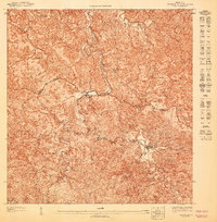
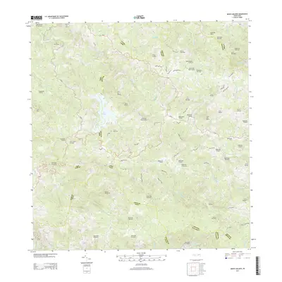
1960 Map of Monte Guilarte
USGS Topo · Published 1968About this map
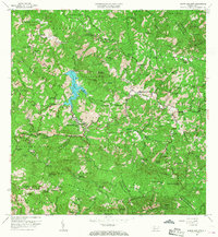
Cordillera Central peaks dominate this 1960 revision of the Adjuntas interior, showcasing a landscape of high-altitude agricultural activity centered around dozens of named haciendas. The rugged interior is punctuated by the blue expanse of Lago Guayo, where the Río Prieto and Río Blanco meet. The settlement of Castañer serves as a local hub near the boundary of Municipio de Lares, surrounded by family estates such as Hacienda La Balear and Hacienda Buena Vista. Social life is anchored by rural institutions like Iglesia de la Virgen del Carmen and the Escuela Segunda Unidad de Rábanos. High points like Monte Guilarte and Monte Membrillo oversee a complex network of insular routes that wind through barrios such as Barrio Yahueca and Barrio Limani, reflecting the coffee and agricultural heritage of the Puerto Rican highlands.
Find a feature on this map
125 named features on this map. Tap any name to fly to it.
Don’t see what you’re looking for? This feature index may not catch every label — zoom into the map to look around manually.
Map Details
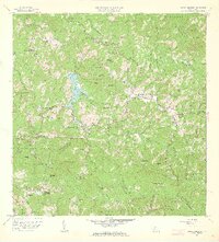
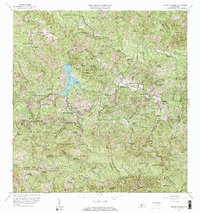
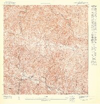
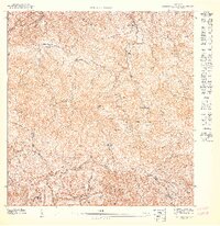
Editions of this 1960 Monte Guilarte Map
4 editions found
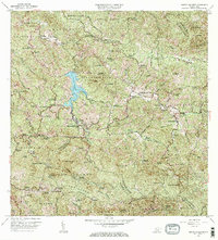
Historical Maps of Sector Los Pagán Through Time
10 maps found
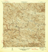
1946 Monte Guilarte
Adjuntas Municipio, PR
1947 Adjuntas NO
Adjuntas Municipio, PR

1947 Adjuntas SO
Adjuntas Municipio, PR
1947 Monte Guilarte NE
Adjuntas Municipio, PR
1947 Monte Guilarte SE
Adjuntas Municipio, PR

1952 Monte Guilarte
Adjuntas Municipio, PR
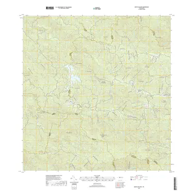
1960 Monte Guilarte
Adjuntas Municipio, PR
2013 Monte Guilarte
Adjuntas Municipio, PR
2018 Monte Guilarte
Adjuntas Municipio, PR
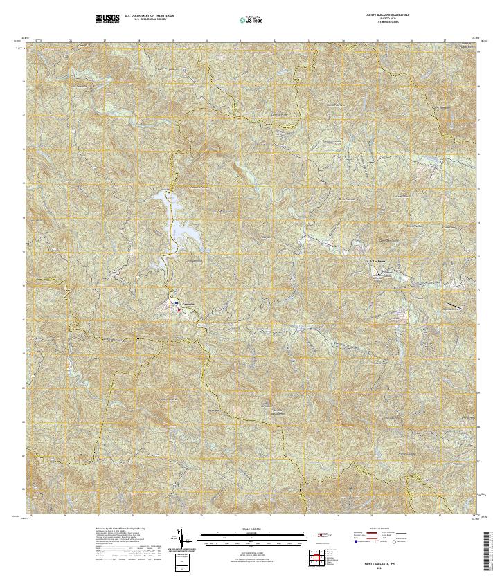
2024 Monte Guilarte
Adjuntas Municipio, PR
Featured Locations
- Sector Jiménez Santiago, Adjuntas
- Sector Lombrices, Adjuntas
- Sector Los Pagán, Adjuntas
- Sector Palo Seco, Adjuntas
- Sector Titulo Quinto, Adjuntas