
1936 Map of Monteagle
USGS Topo · Published 1936About this map
Monteagle sits atop the Cumberland Plateau as a primary mountain hub during this mid-1930s survey. The landscape is defined by its deep coves and steep drops from the plateau rim, marked by features like Monteagle Falls and Bridal Veil Falls. Transportation networks are prominent, including the N C & St L Ry corridor and the intersection of U.S. Highway No 41 & 64, which wind through the terrain to connect the plateau settlements with the valley floor.
Find a feature on this map
41 named features on this map. Tap any name to fly to it.
Don’t see what you’re looking for? This feature index may not catch every label — zoom into the map to look around manually.
Map Details
Editions of this 1936 Monteagle Map
This is the sole edition of this map. No revisions or reprints were ever made.
Other maps of this area

1895 · Sewanee
USGS Topo · 1:125,000

1936 · Sewanee
USGS Topo · 1:24,000

1936 · Alto
USGS Topo · 1:24,000

1936 · Orme
USGS Topo · 1:24,000

1936 · Sinking Cove
USGS Topo · 1:24,000

1936 · Burrow Cove
USGS Topo · 1:24,000

1936 · Tracy City
USGS Topo · 1:24,000

1936 · White City
USGS Topo · 1:24,000
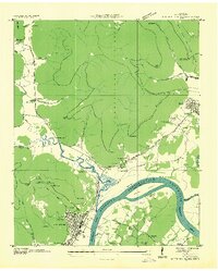
1936 · South Pittsburg
USGS Topo · 1:24,000
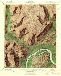
1942 · South Pittsburg
USGS Topo · 1:24,000