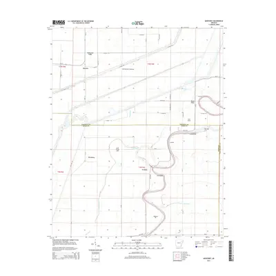
2014 Map of Monterey
USGS Topo · Published 2014About this map
The Saint Francis River winds through the heart of this landscape, its deep meanders defining the border between Cross County and Crittenden County. The river's dynamic nature is evident in the numerous named point bars and islands, such as Fortune Bar, Wheeler Bar, and Cow Island, which stand as shifting landmarks in this alluvial environment. This 2014 survey documents a region defined by extensive water management and drainage, where the Oak Donnick Floodway and Hog Slough cut through the terrain to the north.
Find a feature on this map
54 named features on this map. Tap any name to fly to it.
Don’t see what you’re looking for? This feature index may not catch every label — zoom into the map to look around manually.
Map Details
Editions of this 2014 Monterey Map
This is the sole edition of this map. No revisions or reprints were ever made.
Other maps of this area

1940 · Deckerville
USGS Topo · 1:62,500

1940 · Princedale
USGS Topo · 1:62,500

1940 · Dee
USGS Topo · 1:62,500

1941 · Marked Tree
USGS Topo · 1:62,500

1953 · Memphis
USGS Topo · 1:250,000

1956 · Marked Tree
USGS Topo · 1:62,500

1956 · Memphis
USGS Topo · 1:250,000

1956 · Princedale
USGS Topo · 1:62,500

1957 · Deckerville
USGS Topo · 1:62,500

1958 · Dee
USGS Topo · 1:62,500