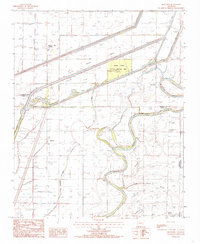
1984 Map of Monterey
USGS Topo · Published 1985About this map
The St Francis River winds through this alluvial landscape, defining the intersection of Cross, Poinsett, and Crittenden Counties. By the mid-1980s, the terrain shows a sophisticated network of water management, characterized by an Irr Canal and numerous designated drainages including Wolf Slough, Fortune Slough, and Hog Slough. These features speak to the region's agricultural intensification and the persistent efforts to manage the low-lying wetlands of the Delta.
Find a feature on this map
16 named features on this map. Tap any name to fly to it.
Don’t see what you’re looking for? This feature index may not catch every label — zoom into the map to look around manually.
Map Details
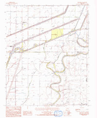
Editions of this 1984 Monterey Map
2 editions found
Other maps of this area

1940 · Deckerville
USGS Topo · 1:62,500

1940 · Princedale
USGS Topo · 1:62,500

1940 · Dee
USGS Topo · 1:62,500

1941 · Marked Tree
USGS Topo · 1:62,500

1953 · Memphis
USGS Topo · 1:250,000

1956 · Marked Tree
USGS Topo · 1:62,500

1956 · Memphis
USGS Topo · 1:250,000

1956 · Princedale
USGS Topo · 1:62,500

1957 · Deckerville
USGS Topo · 1:62,500

1958 · Dee
USGS Topo · 1:62,500