
1947 Map of Monterey
USGS Topo · Published 1969About this map
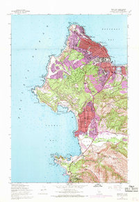
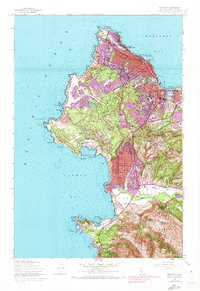
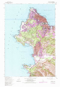
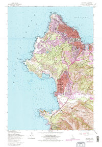
The historic Presidio of Monterey and the bustling waterfront of Monterey dominate this coastal survey, which highlights the area's development through the late 1940s and subsequent urban expansion noted in the late 1960s. The geography is defined by the winding 17 Mile Drive skirting the peninsula through Pacific Grove and Pebble Beach Riding Stables. Coastal landmarks like the Lighthouse at Point Pinos and the Hopkins Marine Laboratory near Point Alones reveal the importance of maritime and scientific interests.
Find a feature on this map
85 named features on this map. Tap any name to fly to it.
Don’t see what you’re looking for? This feature index may not catch every label — zoom into the map to look around manually.
Map Details
Editions of this 1947 Monterey Map
5 editions found
Other maps of this area

1913 · Monterey
USGS Topo · 1:62,500

1918 · Point Sur
USGS Topo · 1:62,500

1925 · Point Sur
USGS Topo · 1:62,500

1941 · Monterey
USGS Topo · 1:62,500

1947 · Point Sur
USGS Topo · 1:62,500

1947 · Seaside
USGS Topo · 1:24,000

1947 · Monterey
USGS Topo · 1:62,500
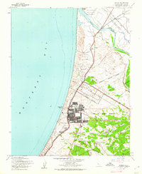
1947 · Marina
USGS Topo · 1:24,000

1948 · Santa Cruz
USGS Topo · 1:250,000
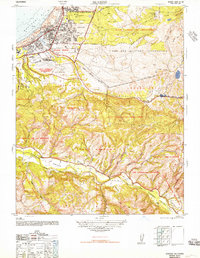
1948 · Seaside
USGS Topo · 1:24,000