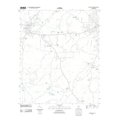
2011 Map of Montevallo
USGS Topo · Published 2011About this map
The University of Montevallo anchor the western edge of this 2011 survey, marking a transition from the academic center into the more sparsely settled valleys of Shelby County. The landscape is defined by the Little Cahaba River and its various tributaries, including Dry Creek and Buxahatchee Creek, which carve through the region's topography. Small settlements like Roberta, Valley Junction, and Ocampo are scattered across the terrain, connected by a network of county roads. Genealogists will find a high density of burial sites including Session Cemetery, Richardson-Randall Cemetery, and the Old Rock Springs Cemetery. To the east, the city of Calera shows a more structured grid, featuring the Calera Post Office and Salem Church. The presence of Camp Dawson and various dams like the J H Oliver Lake Dam indicate a landscape shaped for both utility and recreation.
Find a feature on this map
125 named features on this map. Tap any name to fly to it.
Don’t see what you’re looking for? This feature index may not catch every label — zoom into the map to look around manually.
Map Details
Editions of this 2011 Montevallo Map
This is the sole edition of this map. No revisions or reprints were ever made.
Other maps of this area

1890 · Bessemer
USGS Topo · 1:125,000

1891 · Clanton
USGS Topo · 1:125,000

1892 · Bessemer
USGS Topo · 1:125,000

1909 · Columbiana
USGS Topo · 1:62,500

1910 · Montevallo
USGS Topo · 1:62,500

1911 · Columbiana
USGS Topo · 1:62,500

1953 · Montgomery
USGS Topo · 1:250,000

1953 · Birmingham
USGS Topo · 1:250,000

1956 · Birmingham
USGS Topo · 1:250,000

1956 · Montgomery
USGS Topo · 1:250,000