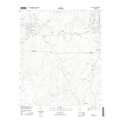
2014 Map of Montevallo
USGS Topo · Published 2014About this map
The Univ of Montevallo anchors the northwestern portion of this Shelby County landscape, where the Little Cahaba River meanders through Dry Valley. The map details a transition from the structured street grids of Montevallo and Calera to the more dispersed settlements of Minooka, Ocampo, and Wessington. Water sources are abundant throughout the region, ranging from Alexander Springs and Big Spring to the larger Shechi Lakes and J H Oliver Lake further south.
Find a feature on this map
163 named features on this map. Tap any name to fly to it.
Don’t see what you’re looking for? This feature index may not catch every label — zoom into the map to look around manually.
Map Details
Editions of this 2014 Montevallo Map
This is the sole edition of this map. No revisions or reprints were ever made.
Other maps of this area

1890 · Bessemer
USGS Topo · 1:125,000

1891 · Clanton
USGS Topo · 1:125,000

1892 · Bessemer
USGS Topo · 1:125,000

1909 · Columbiana
USGS Topo · 1:62,500

1910 · Montevallo
USGS Topo · 1:62,500

1911 · Columbiana
USGS Topo · 1:62,500

1953 · Montgomery
USGS Topo · 1:250,000

1953 · Birmingham
USGS Topo · 1:250,000

1956 · Birmingham
USGS Topo · 1:250,000

1956 · Montgomery
USGS Topo · 1:250,000