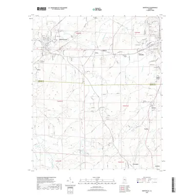
2018 Map of Montevallo
USGS Topo · Published 2018About this map
Montevallo and Calera serve as the primary hubs in this region of Alabama, showing a landscape defined by its educational and residential development near the Little Cahaba River. The presence of the Univ of Montevallo anchors the northwestern corner, while the surrounding countryside is dotted with numerous small family and community burial grounds, such as the King Cem, Richardson-Randall Cem, and Salem Cem.
Find a feature on this map
74 named features on this map. Tap any name to fly to it.
Don’t see what you’re looking for? This feature index may not catch every label — zoom into the map to look around manually.
Map Details
Editions of this 2018 Montevallo Map
This is the sole edition of this map. No revisions or reprints were ever made.
Other maps of this area

1890 · Bessemer
USGS Topo · 1:125,000

1891 · Clanton
USGS Topo · 1:125,000

1892 · Bessemer
USGS Topo · 1:125,000
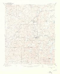
1909 · Columbiana
USGS Topo · 1:62,500
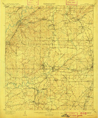
1910 · Montevallo
USGS Topo · 1:62,500
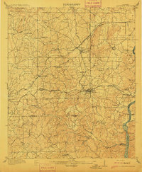
1911 · Columbiana
USGS Topo · 1:62,500

1953 · Montgomery
USGS Topo · 1:250,000

1953 · Birmingham
USGS Topo · 1:250,000

1956 · Birmingham
USGS Topo · 1:250,000

1956 · Montgomery
USGS Topo · 1:250,000