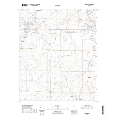
2020 Map of Montevallo
USGS Topo · Published 2020About this map
The University of Montevallo anchors the northwest corner of this landscape, where the Little Cahaba River winds through Dry Valley before reaching the growing settlements of Montevallo and Calera. The transition from the settled streets of the university town to the southern reaches reveals a network of rural communities such as Wilton, Minooka, and Ocampo. This corridor shows a significant density of historical burial grounds, including the Old Rock Springs Cem and Reynolds Cem, which offer tangible links for genealogical research in this portion of Alabama.
Find a feature on this map
161 named features on this map. Tap any name to fly to it.
Don’t see what you’re looking for? This feature index may not catch every label — zoom into the map to look around manually.
Map Details
Editions of this 2020 Montevallo Map
This is the sole edition of this map. No revisions or reprints were ever made.
Other maps of this area

1890 · Bessemer
USGS Topo · 1:125,000

1891 · Clanton
USGS Topo · 1:125,000

1892 · Bessemer
USGS Topo · 1:125,000

1909 · Columbiana
USGS Topo · 1:62,500

1910 · Montevallo
USGS Topo · 1:62,500

1911 · Columbiana
USGS Topo · 1:62,500

1953 · Montgomery
USGS Topo · 1:250,000

1953 · Birmingham
USGS Topo · 1:250,000

1956 · Birmingham
USGS Topo · 1:250,000

1956 · Montgomery
USGS Topo · 1:250,000