Loading...
Loading map...2024 Map of Montevallo
USGS Topo · Published 2024About this map
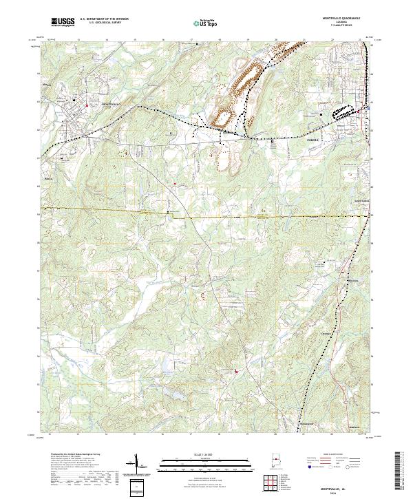
Montevallo and its collegiate heart at the University of Montevallo anchor this central Alabama landscape, where the Little Cahaba River winds through the northern reaches near Almont. The terrain transitions from the developed corridors of Calera and South Calera into the more rural stretches of Dry Valley and the southern timberlands. The industrial and transit legacy of the region is traced by the CSX Transportation lines that connect these settlements.
Find a feature on this map
185 named features on this map. Tap any name to fly to it.
Don’t see what you’re looking for? This feature index may not catch every label — zoom into the map to look around manually.
Map Details
Date Portrayed2024
Date Published2024
PublisherU.S. Geological Survey
Map TypeTopographic
Scale1:24000
Physical Dimensions24 x 29 inches
Editions of this 2024 Montevallo Map
This is the sole edition of this map. No revisions or reprints were ever made.
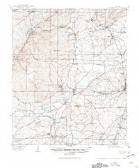
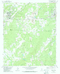
Historical Maps of Valley Junction Through Time
3 maps found
Featured Locations
Source Details
SourceU.S. Geological Survey
CopyrightPublic Domain