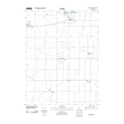
2010 Map of Montezuma
USGS Topo · Published 2010About this map
Grand Lake anchors the northern edge of this Mercer County landscape, where the lakeside communities of Montezuma and Montezuma Acres meet the agricultural heartland. The 2010 survey reveals a dense network of Catholic heritage and rural settlements, with Carthagena and Cassella serving as central points for local commerce and faith. Genealogists will find a significant concentration of burial grounds, including the Saint Aloysius Catholic Cemetery and the Saint Rose Catholic Cemetery, which document the generations of families that established these farming townships.
Find a feature on this map
69 named features on this map. Tap any name to fly to it.
Don’t see what you’re looking for? This feature index may not catch every label — zoom into the map to look around manually.
Map Details
Editions of this 2010 Montezuma Map
This is the sole edition of this map. No revisions or reprints were ever made.
Other maps of this area

1908 · St. Henry
USGS Topo · 1:62,500

1909 · Loramie
USGS Topo · 1:62,500

1911 · Loramie
USGS Topo · 1:62,500

1911 · Spencerville
USGS Topo · 1:62,500

1914 · Celina
USGS Topo · 1:62,500

1944 · Loramie
USGS Topo · 1:62,500

1944 · Celina
USGS Topo · 1:62,500

1944 · Spencerville
USGS Topo · 1:62,500

1953 · Muncie
USGS Topo · 1:250,000

1956 · Muncie
USGS Topo · 1:250,000