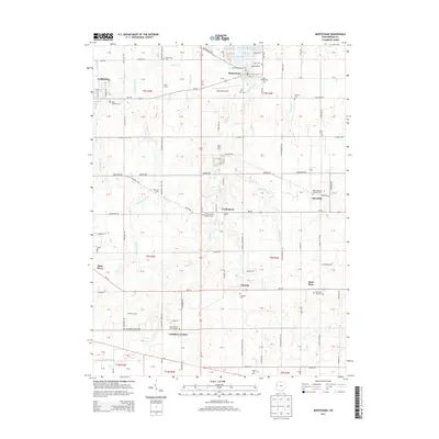
2013 Map of Montezuma
USGS Topo · Published 2013About this map
Grand Lake and its northern shoreline at Montezuma Bay anchor the northeast corner of this Mercer County landscape, where the agricultural grid of Western Ohio meets the recreational waters of the state's largest inland lake. The region is densely settled with small crossroads and religious centers, many tied to the local German Catholic heritage. Significant cemeteries and parish sites including Saint Elizabeth Cem and Saint Rose Catholic Cem are distributed across the township lines, serving communities like Carthagena, Sebastian, and Cassella.
Find a feature on this map
83 named features on this map. Tap any name to fly to it.
Don’t see what you’re looking for? This feature index may not catch every label — zoom into the map to look around manually.
Map Details
Editions of this 2013 Montezuma Map
This is the sole edition of this map. No revisions or reprints were ever made.
Other maps of this area

1908 · St. Henry
USGS Topo · 1:62,500

1909 · Loramie
USGS Topo · 1:62,500

1911 · Loramie
USGS Topo · 1:62,500

1911 · Spencerville
USGS Topo · 1:62,500

1914 · Celina
USGS Topo · 1:62,500

1944 · Loramie
USGS Topo · 1:62,500

1944 · Celina
USGS Topo · 1:62,500

1944 · Spencerville
USGS Topo · 1:62,500

1953 · Muncie
USGS Topo · 1:250,000

1956 · Muncie
USGS Topo · 1:250,000