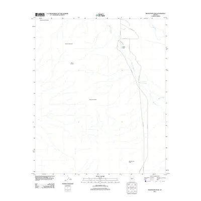
2011 Map of Montezuma Peak
USGS Topo · Published 2011About this map
The Sierra Estrella mountains dominate this part of the Sonoran desert, where the drainage of the Santa Cruz Wash and Vekol Wash carve through the arid basin toward the Gila River in the northeast. This 2011 survey by the U.S. Geological Survey highlights a landscape of high peaks and dry watercourses, including the distinctive profiles of Montezuma Peak, Montezumas Head, and Montezuma Sleeping.
Find a feature on this map
14 named features on this map. Tap any name to fly to it.
Don’t see what you’re looking for? This feature index may not catch every label — zoom into the map to look around manually.
Map Details
Editions of this 2011 Montezuma Peak Map
This is the sole edition of this map. No revisions or reprints were ever made.
Other maps of this area

1912 · Phoenix
USGS Topo · 1:62,500

1913 · Maricopa
USGS Topo · 1:62,500

1914 · Phoenix
USGS Topo · 1:62,500

1915 · Maricopa
USGS Topo · 1:62,500

1946 · Avondale
USGS Topo · 1:62,500

1948 · Cashion
USGS Topo · 1:62,500

1951 · Mobile
USGS Topo · 1:62,500

1952 · Maricopa
USGS Topo · 1:24,000

1952 · Lone Butte
USGS Topo · 1:24,000

1952 · Laveen
USGS Topo · 1:24,000