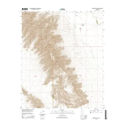
2014 Map of Montezuma Peak
USGS Topo · Published 2014About this map
The Sierra Estrella range dominates this landscape, forming a high ridge that serves as a natural boundary between Maricopa Co and Pinal Co. This 2014 survey documents the dramatic topography of the desert peaks, including Montezuma Peak and Butterfly Mtn, as they transition into the arid lowlands where seasonal drainages like Vekol Wash and Santa Cruz Wash move across the valley floor.
Find a feature on this map
21 named features on this map. Tap any name to fly to it.
Don’t see what you’re looking for? This feature index may not catch every label — zoom into the map to look around manually.
Map Details
Editions of this 2014 Montezuma Peak Map
This is the sole edition of this map. No revisions or reprints were ever made.
Other maps of this area

1912 · Phoenix
USGS Topo · 1:62,500

1913 · Maricopa
USGS Topo · 1:62,500

1914 · Phoenix
USGS Topo · 1:62,500

1915 · Maricopa
USGS Topo · 1:62,500

1946 · Avondale
USGS Topo · 1:62,500

1948 · Cashion
USGS Topo · 1:62,500

1951 · Mobile
USGS Topo · 1:62,500

1952 · Maricopa
USGS Topo · 1:24,000

1952 · Lone Butte
USGS Topo · 1:24,000

1952 · Laveen
USGS Topo · 1:24,000