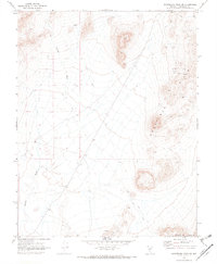
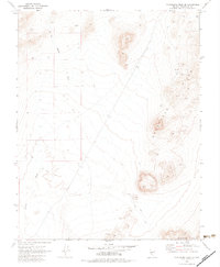
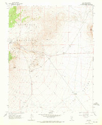
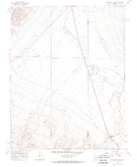
1970 Map of Montezuma Peak SE
USGS Topo · Published 1973About this map
Goldfield Hills and the Cuprite Hills dominate this high-desert landscape in Esmeralda County, documented during a 1970 field check. The terrain is defined by a network of drainage systems, most notably Jackson Wash, which carves through the western portion of the quadrangle. While largely devoid of permanent settlements, the area shows clear evidence of mineral exploration and backcountry transit common in Nevada's mining districts.
Find a feature on this map
13 named features on this map. Tap any name to fly to it.
Don’t see what you’re looking for? This feature index may not catch every label — zoom into the map to look around manually.
Map Details
Editions of this 1970 Montezuma Peak SE Map
2 editions found
Other maps of this area

1908 · Lida
USGS Topo · 1:250,000

1913 · Lida
USGS Topo · 1:250,000
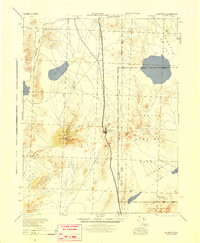
1945 · Goldfield
USGS Topo · 1:125,000
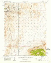
1952 · Goldfield
USGS Topo · 1:62,500

1954 · Goldfield
USGS Topo · 1:250,000

1955 · Goldfield
USGS Topo · 1:250,000

1958 · Goldfield
USGS Topo · 1:250,000

1962 · Goldfield
USGS Topo · 1:250,000
1968 · Lida
USGS Topo · 1:24,000
1968 · Stonewall Pass
USGS Topo · 1:24,000