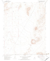
1970 Map of Montezuma Peak SE
USGS Topo · Published 1983About this map
Goldfield Hills and the Cuprite Hills define this high-desert region in Esmeralda County, where the landscape is marked by a network of drainage features such as Jackson Wash. The mapping, based on 1968 aerial photography, shows a terrain shaped by mineral exploration and transient use rather than permanent settlement. Discrete markers of human activity are present in the form of a Prospect and a Mine located in the northern reaches, connected by a primitive Jeep Trail system that traverses the arid flats and volcanic uplands. The label Halfway sits near a high point in the northern hills, suggesting a local landmark or waypoint. This survey provides a record of the Great Basin topography before later developments, detailing benchmarks like BM 5466 and BM 5316 that anchored the region's geodetic framework.
Find a feature on this map
14 named features on this map. Tap any name to fly to it.
Don’t see what you’re looking for? This feature index may not catch every label — zoom into the map to look around manually.
Map Details
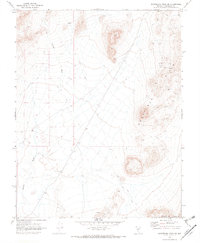
Editions of this 1970 Montezuma Peak SE Map
2 editions found
Other maps of this area

1908 · Lida
USGS Topo · 1:250,000

1913 · Lida
USGS Topo · 1:250,000

1945 · Goldfield
USGS Topo · 1:125,000

1952 · Goldfield
USGS Topo · 1:62,500

1954 · Goldfield
USGS Topo · 1:250,000

1955 · Goldfield
USGS Topo · 1:250,000

1958 · Goldfield
USGS Topo · 1:250,000

1962 · Goldfield
USGS Topo · 1:250,000

1968 · Lida
USGS Topo · 1:24,000

1968 · Stonewall Pass
USGS Topo · 1:24,000