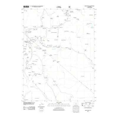
2011 Map of Montezuma
USGS Topo · Published 2011About this map
Montezuma sits at the heart of this high-elevation landscape, where the Snake River and Peru Creek meet amidst a dense concentration of mining claims. The area is defined by its deep extraction history, evidenced by dozens of named sites like the Pennsylvania Mine, Independence Mine, and the Silver Spoon Mine. These operations follow the jagged contours of Silver Mountain and Decatur Mountain, while the massive Harold D Roberts Tunnel bores through the rock underneath. High-altitude travel is marked by routes over Argentine Pass and Webster Pass, connecting the mining districts across the Continental Divide. Water management is also prominent, with the Murry Dam and Murry Reservoir positioned near the headwaters, while natural features like Soda Spring and Shelf Lake highlight the complex hydrology of the high basins.
Find a feature on this map
136 named features on this map. Tap any name to fly to it.
Don’t see what you’re looking for? This feature index may not catch every label — zoom into the map to look around manually.
Map Details
Editions of this 2011 Montezuma Map
This is the sole edition of this map. No revisions or reprints were ever made.
Other maps of this area

1903 · Georgetown
USGS Topo · 1:62,500

1905 · Georgetown
USGS Topo · 1:62,500

1924 · Montezuma
USGS Topo · 1:62,500

1926 · Montezuma
USGS Topo · 1:62,500

1933 · Montezuma
USGS Topo · 1:62,500

1937 · Como
USGS Topo · 1:62,500

1945 · Mount Logan
USGS Topo · 1:24,000

1948 · Mount Logan
USGS Topo · 1:24,000

1953 · Denver
USGS Topo · 1:250,000

1957 · Denver
USGS Topo · 1:250,000