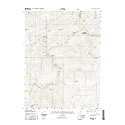
2016 Map of Montezuma
USGS Topo · Published 2016About this map
Montezuma and the high-altitude terrain of the Continental Divide define this landscape where the boundaries of Summit, Clear Creek, and Park counties meet. The map reveals a legacy of resource extraction and alpine exploration, noted by the presence of the Montezuma Cem and the complex network of mining access routes like Climax Mine Road and Chatauqua Mine Road. The subterranean Harold D Roberts Tunnel cuts beneath the peaks, a massive engineering feat for water diversion that passes deep under the Snake River headwaters and Santa Fe Peak. High-country water features are prominent, including Geneva Lake, Silver Dollar Lake, and the Murry Reservoir, all situated among soaring summits such as Argentine Peak and Mt Wilcox. This survey illustrates the modern intersection of industry and recreation, where the Continental Divide National Scenic Trail winds through three national forests: White River, Arapaho, and Pike.
Find a feature on this map
87 named features on this map. Tap any name to fly to it.
Don’t see what you’re looking for? This feature index may not catch every label — zoom into the map to look around manually.
Map Details
Editions of this 2016 Montezuma Map
This is the sole edition of this map. No revisions or reprints were ever made.
Other maps of this area

1903 · Georgetown
USGS Topo · 1:62,500

1905 · Georgetown
USGS Topo · 1:62,500

1924 · Montezuma
USGS Topo · 1:62,500

1926 · Montezuma
USGS Topo · 1:62,500

1933 · Montezuma
USGS Topo · 1:62,500

1937 · Como
USGS Topo · 1:62,500

1945 · Mount Logan
USGS Topo · 1:24,000

1948 · Mount Logan
USGS Topo · 1:24,000

1953 · Denver
USGS Topo · 1:250,000

1957 · Denver
USGS Topo · 1:250,000