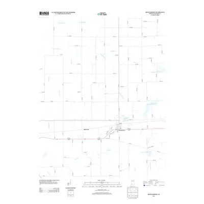
2013 Map of Montgomery
USGS Topo · Published 2013About this map
Montgomery serves as the central hub of this agricultural region in Daviess County, where the township grid is deeply etched by a complex network of waterways. The landscape is defined by the diverging paths of the N Fork Prairie Cr and S Fork Prairie Cr, alongside several engineered drainage systems like Eagan Ditch and Oberts Ditch that support the local farming economy. To the west of the main settlement lies Black Oak, while the southern reaches are marked by the presence of Mt Grove Cemetery and the meandering Veale Cr. Several flood control measures are visible across the prairie, noted as structure numbers B-2-1, B-4-7, and B-3-2 on Prairie Creek. Small recreation and water management points like Indian Rock Lake punctuating the rural terrain, illustrating the modern management of this traditional Indiana prairie landscape.
Find a feature on this map
65 named features on this map. Tap any name to fly to it.
Don’t see what you’re looking for? This feature index may not catch every label — zoom into the map to look around manually.
Map Details
Editions of this 2013 Montgomery Map
This is the sole edition of this map. No revisions or reprints were ever made.
Other maps of this area

1943 · Plainville
USGS Topo · 1:24,000

1943 · Epsom
USGS Topo · 1:24,000

1944 · Montgomery
USGS Topo · 1:24,000

1944 · Glendale
USGS Topo · 1:24,000

1944 · Washington
USGS Topo · 1:24,000

1945 · Sandy Hook
USGS Topo · 1:24,000

1950 · Odon
USGS Topo · 1:24,000

1956 · Alfordsville
USGS Topo · 1:24,000

1956 · Loogootee
USGS Topo · 1:24,000

1956 · Vincennes
USGS Topo · 1:250,000