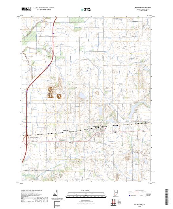
2022 Map of Montgomery
USGS Topo · Published 2022About this map
Montgomery and Cannelburg serve as the primary focal points of this Daviess County landscape, situated along the corridor of Old US Highway 50. The town of Montgomery features the centrally located Saint Peters Cem, while the smaller settlement of Black Oak lies to the west, marking a historically rural residential cluster. The surrounding countryside is defined by an intricate network of drainage and water management systems, including Eagan Ditch and Oberls Ditch, which channel water toward larger bodies like Indian Rock Lake. Significant engineering works such as Prairie Cr Structure Number B-2-1 illustrate the ongoing infrastructure required to manage the many forks of Prairie Creek. Genealogists will find interest in localized landmarks like Stoll Cem in the northeast, preserving family names in a region otherwise dominated by a rigid grid of county roads and agricultural land.
Find a feature on this map
50 named features on this map. Tap any name to fly to it.
Don’t see what you’re looking for? This feature index may not catch every label — zoom into the map to look around manually.
Map Details
Editions of this 2022 Montgomery Map
This is the sole edition of this map. No revisions or reprints were ever made.
Other maps of this area

1943 · Plainville
USGS Topo · 1:24,000

1943 · Epsom
USGS Topo · 1:24,000

1944 · Montgomery
USGS Topo · 1:24,000

1944 · Glendale
USGS Topo · 1:24,000

1944 · Washington
USGS Topo · 1:24,000

1945 · Sandy Hook
USGS Topo · 1:24,000

1950 · Odon
USGS Topo · 1:24,000

1956 · Alfordsville
USGS Topo · 1:24,000

1956 · Loogootee
USGS Topo · 1:24,000

1956 · Vincennes
USGS Topo · 1:250,000