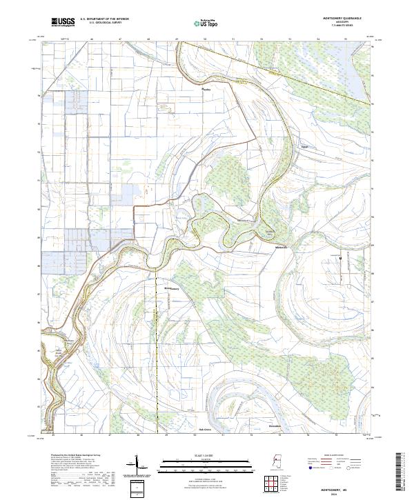
2024 Map of Montgomery
USGS Topo · Published 2024About this map
The Yazoo River defines the landscape of this region where Holmes, Leflore, and Humphreys counties meet. The river's winding path is punctuated by engineering efforts like the Silent Shade Cut-Off and the Marksville B Cut-Off, illustrating a long history of water management in the Delta. Small settlements such as Montgomery and Marksville are situated along these waterways, supported by a network of local roads like Baldwin Plantation Rd and Hamilton Deaden Rd. Cultural landmarks such as Lennard Cem and the former sites of McAffees Ferry and Markhams Ferry provide points of interest for those tracing the river's role in local commerce and movement. Large natural areas, including the Mathews Brake National Wildlife Refuge and Theodore Roosevelt National Wildlife Refuge, dominate the northern and central sections, preserving the oxbow lakes and wetlands characteristic of the alluvial plain.
Find a feature on this map
56 named features on this map. Tap any name to fly to it.
Don’t see what you’re looking for? This feature index may not catch every label — zoom into the map to look around manually.
Map Details
Editions of this 2024 Montgomery Map
This is the sole edition of this map. No revisions or reprints were ever made.
Other maps of this area

1940 · Seven Pines
USGS Topo · 1:62,500

1940 · Lexington
USGS Topo · 1:62,500

1940 · Mileston
USGS Topo · 1:62,500

1953 · Greenwood
USGS Topo · 1:250,000

1954 · Mileston
USGS Topo · 1:62,500

1956 · Greenwood
USGS Topo · 1:250,000

1957 · Lexington
USGS Topo · 1:62,500

1957 · Seven Pines
USGS Topo · 1:62,500

1958 · Seven Pines
USGS Topo · 1:62,500

1958 · Lexington
USGS Topo · 1:62,500