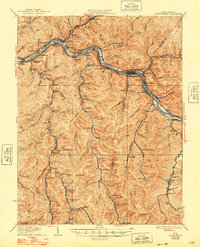
1931 Map of Montgomery
USGS Topo · Published 1948About this map
The Kanawha River serves as the industrial spine of this coal-country landscape, where the Chesapeake and Ohio and Kanawha and Michigan railroads parallel the water. The regional center of Montgomery anchors a dense network of company towns and rail-dependent settlements like Shrewsbury, Handley, and Deepwater. Heavy industry is evident at the Pure Oil Refinery near Cabin Creek Junction, while the river's navigation is managed by Lock 2 and Lock 3.
Find a feature on this map
145 named features on this map. Tap any name to fly to it.
Don’t see what you’re looking for? This feature index may not catch every label — zoom into the map to look around manually.
Map Details
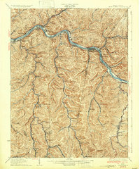
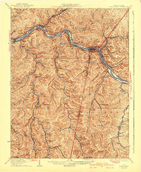
Editions of this 1931 Montgomery Map
3 editions found
Other maps of this area

1891 · Oceana
USGS Topo · 1:125,000

1891 · Raleigh
USGS Topo · 1:125,000

1893 · Oceana
USGS Topo · 1:125,000

1897 · Kanawha Falls
USGS Topo · 1:125,000

1897 · Raleigh
USGS Topo · 1:125,000

1898 · Oceana
USGS Topo · 1:125,000

1899 · Charleston
USGS Topo · 1:125,000

1900 · Kanawha Falls
USGS Topo · 1:125,000

1901 · Kanawha Falls
USGS Topo · 1:125,000

1902 · Raleigh
USGS Topo · 1:125,000