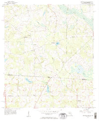
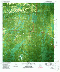
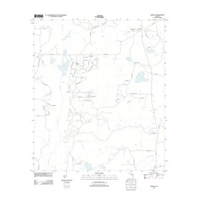
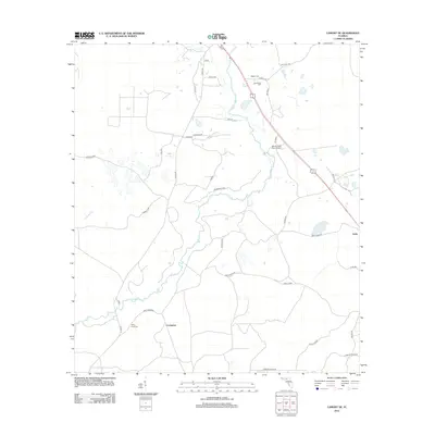
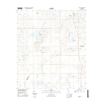
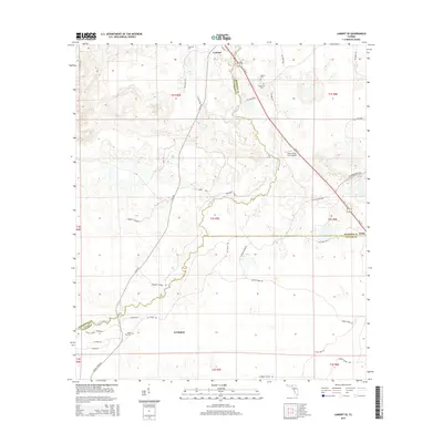
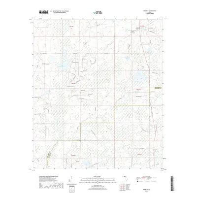
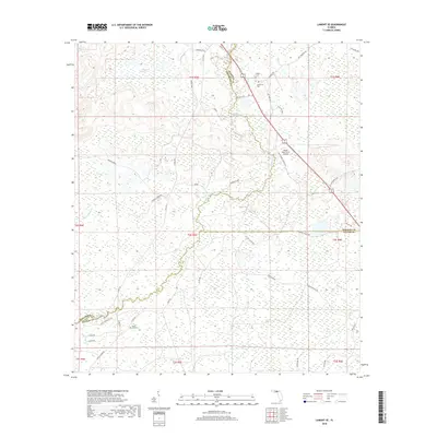
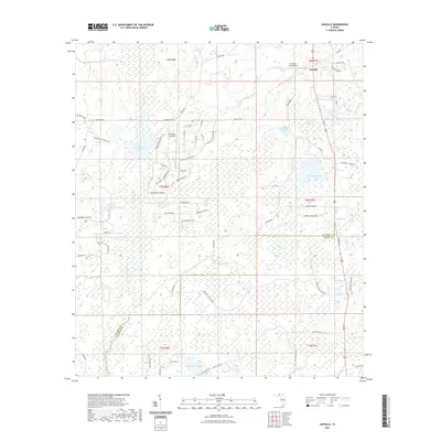
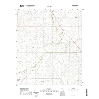
1956 Map of Monticello NE
USGS Topo · Published 1997About this map
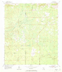
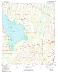
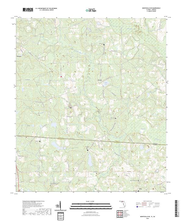
The Georgia Florida Line bisects this mid-century landscape, separating Jefferson County from Thomas County along a rural border dominated by water and wood. The drainage of Connell Creek and the meandering Aucilla River define the terrain, feeding numerous named water bodies like Madre Pond and Lake Fontaine. This map captures a social geography anchored by a dense network of country churches, including Macedonia Ch, Mt Homer Ch, and Olive Ch, which served as the primary gathering points for the dispersed population near Everett and Dills. Local family history is preserved through sites such as Mallette Cem and Little Flock Cem, while education is represented by Union Sch and Elizabeth Sch. The distribution of these community markers illustrates the rural settlement patterns before modern consolidation altered the southern borderlands.
Find a feature on this map
22 named features on this map. Tap any name to fly to it.
Don’t see what you’re looking for? This feature index may not catch every label — zoom into the map to look around manually.
Map Details
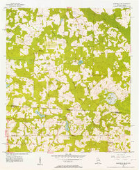
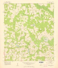
Editions of this 1956 Monticello NE Map
3 editions found
Historical Maps of Everett Through Time
56 maps found
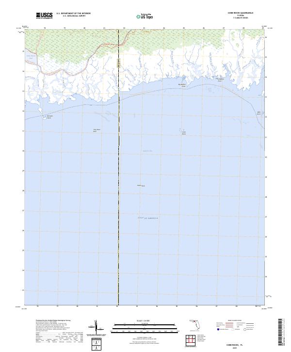
1954 Cobb Rocks
Jefferson County, FL
1954 Cody
Jefferson County, FL
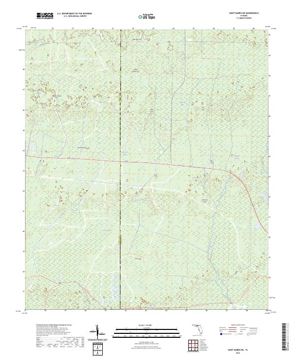
1954 St Marks NE
Jefferson County, FL

1955 Lamont SE
Jefferson County, FL
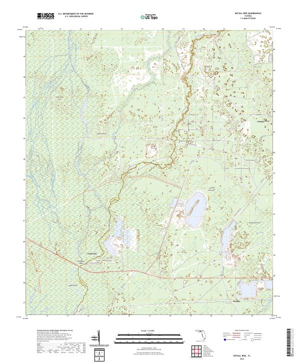
1955 Nutall Rise
Jefferson County, FL
1956 Monticello NE
Jefferson County, FL
1962 Ashville
Jefferson County, FL
1963 Lake Miccosukee
Jefferson County, FL
1981 Cody
Jefferson County, FL
1982 Cobb Rocks
Jefferson County, FL
1982 Miccosukee NE
Jefferson County, FL
1982 St. Marks NE
Jefferson County, FL
1994 Cobb Rocks
Jefferson County, FL
1994 Miccosukee NE
Jefferson County, FL
2011 Monticello NE
Jefferson County, FL
2012 Ashville
Jefferson County, FL
2012 Cobb Rocks
Jefferson County, FL
2012 Cody
Jefferson County, FL
2012 Lake Miccosukee
Jefferson County, FL
2012 Lamont SE
Jefferson County, FL
2012 Monticello NE
Jefferson County, FL
2012 Nutall Rise
Jefferson County, FL
2012 Saint Marks NE
Jefferson County, FL
2015 Ashville
Jefferson County, FL
2015 Cobb Rocks
Jefferson County, FL
2015 Cody
Jefferson County, FL
2015 Lake Miccosukee
Jefferson County, FL
2015 Lamont SE
Jefferson County, FL
2015 Monticello NE
Jefferson County, FL
2015 Nutall Rise
Jefferson County, FL
2015 Saint Marks NE
Jefferson County, FL
2018 Ashville
Jefferson County, FL
2018 Cobb Rocks
Jefferson County, FL
2018 Cody
Jefferson County, FL
2018 Lake Miccosukee
Jefferson County, FL
2018 Lamont SE
Jefferson County, FL
2018 Monticello NE
Jefferson County, FL
2018 Nutall Rise
Jefferson County, FL
2018 Saint Marks NE
Jefferson County, FL
2021 Ashville
Jefferson County, FL
2021 Cobb Rocks
Jefferson County, FL
2021 Cody
Jefferson County, FL
2021 Lake Miccosukee
Jefferson County, FL
2021 Lamont SE
Jefferson County, FL
2021 Monticello NE
Jefferson County, FL
2021 Nutall Rise
Jefferson County, FL
2021 Saint Marks NE
Jefferson County, FL

2024 Ashville
Jefferson County, FL
2024 Cobb Rocks
Jefferson County, FL
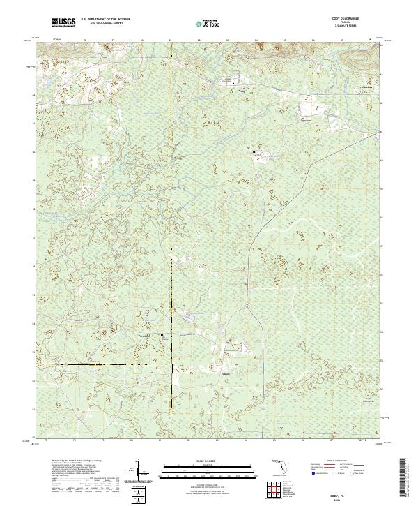
2024 Cody
Jefferson County, FL
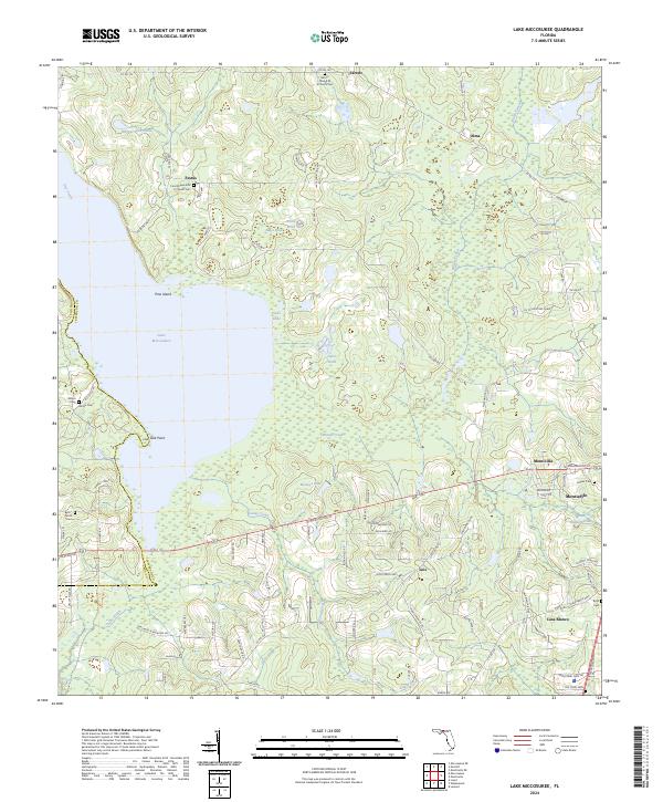
2024 Lake Miccosukee
Jefferson County, FL
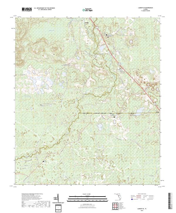
2024 Lamont SE
Jefferson County, FL
2024 Monticello NE
Jefferson County, FL
2024 Nutall Rise
Jefferson County, FL
2024 Saint Marks NE
Jefferson County, FL
2025 Cobb Rocks
Jefferson County, FL