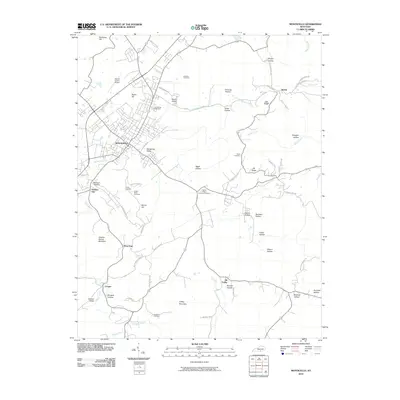
2010 Map of Monticello
USGS Topo · Published 2010About this map
Monticello serves as the primary hub of this Wayne County landscape, situated where Elk Spring Creek winds through Elk Spring Valley. The surrounding terrain is defined by a dense network of hollows and ridges, such as Foster Hollow, Draughn Hollow, and Elk Ridge, reflecting the complex topography of the Cumberland Plateau foothills. Smaller rural communities like Spann, Oil Valley, and the interestingly named Number One are connected by a web of local roads, including Indian Cave Rd and Bertram Hollow Rd. Family history is deeply rooted in this area, evidenced by numerous burial grounds like Kendrick Cemetery, Lonely Cemetery, and the Ingram-Vickery-Goodard Cemetery. To the south, the terrain rises toward Coffey Mountain and Sulphur Spring Mountain, creating a natural divide near Wray Gap.
Find a feature on this map
66 named features on this map. Tap any name to fly to it.
Don’t see what you’re looking for? This feature index may not catch every label — zoom into the map to look around manually.
Map Details
Editions of this 2010 Monticello Map
This is the sole edition of this map. No revisions or reprints were ever made.
Other maps of this area

1911 · Monticello
USGS Topo · 1:62,500

1914 · Monticello
USGS Topo · 1:62,500

1932 · Burnside
USGS Topo · 1:62,500

1934 · Barthell
USGS Topo · 1:62,500

1934 · Pall Mall
USGS Topo · 1:62,500

1953 · Frazer
USGS Topo · 1:24,000

1953 · Parnell
USGS Topo · 1:24,000

1953 · Monticello
USGS Topo · 1:24,000

1953 · Mill Springs
USGS Topo · 1:24,000

1954 · Jabez
USGS Topo · 1:24,000